
PIN 497119 Area code 07831 | Time zone IST (UTC+5:30) Telephone code 07831 Local time Wednesday 4:12 PM | |
 | ||
Weather 32°C, Wind N at 10 km/h, 21% Humidity | ||
Balrampur is the headquarter of Balrampur-Ramanujganj district of Chhattisgarh state of India. It is the administrative headquarters of the Balrampur-Ramanujganj district, located 441 km North from the state headquarters Raipur. National Highway 130 and 343 passes through Balrampur.
Contents
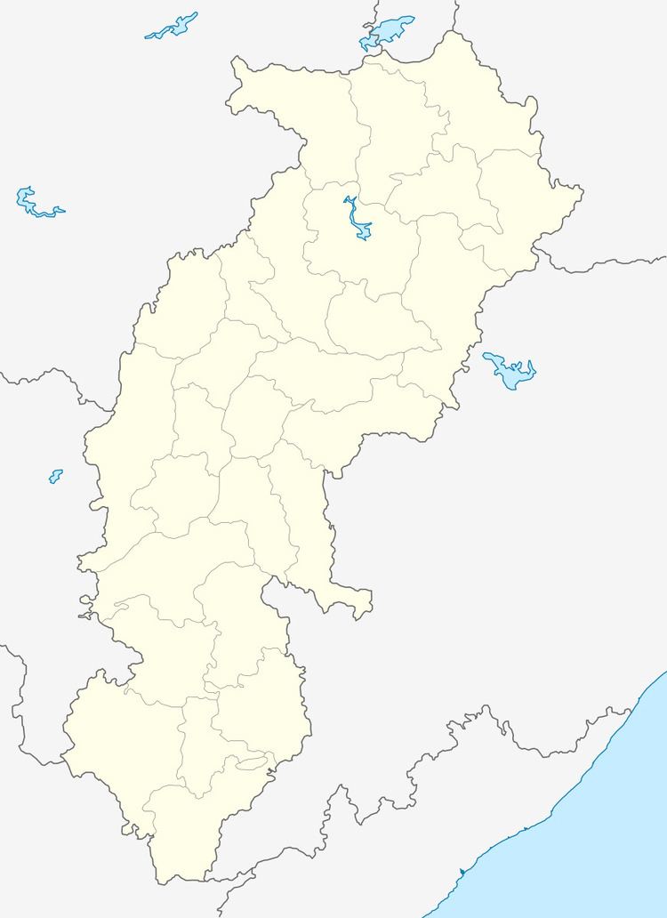
Map of Balrampur, Chhattisgarh 497119
This is also one of the important junction Connecting Ambikapur, Ramanujganj, Kusmi and Pratappur and Rajpur.
Geography
Balrampur is located at 23.605°N 83.617°E / 23.605; 83.617.It has an average elevation of 528 metres (1,732 ft).
Facilities
Road
Balrampur is one of the major city in Balrampur District Chhattisgarh. It is connected through National highway 343. NH 343 connects to Garhwa jharkhand and Ambikapur Chhattisgarh. Through Ramanujganj we can connect to Garhwa Jharkhand. It is linked with Ambikapur, India Via Jhalaria → Rajpur → Baghima -> Ambikapur.
Rail
Nearest railway station for balrampur is Ambikapur and Garhwa Railway Station.