
Airport type Public 16/34 4,000 1,219 Asphalt Owner CITY OF BAKERSFIELD | Elevation AMSL 378 ft / 115 m 4,000 1,219 Elevation 115 m Phone +1 661-326-3155 | |
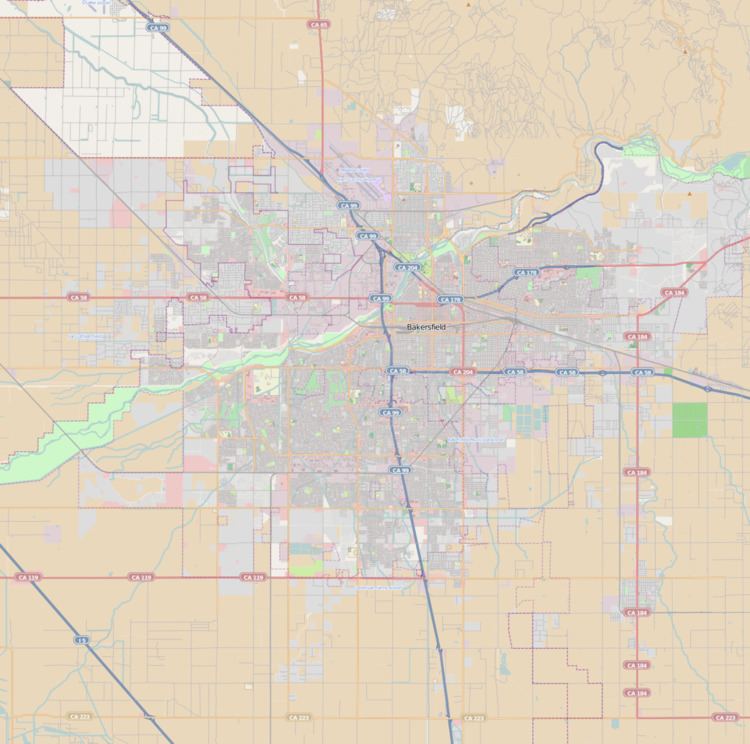 | ||
Address 2000 S Union Ave, Bakersfield, CA 93307, USA | ||
Arriving l45 bakersfield municipal airport
Bakersfield Municipal Airport (FAA LID: L45) is a city-owned public-use airport located three nautical miles (6 km) south of the central business district of Bakersfield, a city in Kern County, California, United States. The airport is mostly used for general aviation.
Contents
- Arriving l45 bakersfield municipal airport
- Takeoff from bakersfield municipal airport l 45
- History
- Facilities and aircraft
- References
Takeoff from bakersfield municipal airport l 45
History
During World War II the airfield was used by the United States Army Air Forces Air Transport Command as a Sub-base of Hammer Field.
Facilities and aircraft
Bakersfield Municipal Airport covers an area of 253 acres (102 ha) at an elevation of 378 feet (115 m) above mean sea level. It has one runway designated 16/34 with an asphalt surface measuring 4,000 by 75 feet (1,219 x 23 m).
For the 12-month period ending April 13, 2009, the airport had 25,000 general aviation aircraft operations, an average of 68 per day. At that time there were 82 aircraft based at this airport: 90% single-engine and 10% multi-engine.