
Listing Hewitt, Nuttall, OS grid SO182639 Elevation 610 m | Topo map OS Landranger 148 Prominence 41 m | |
 | ||
Similar Black Mixen, Rhos Fawr, Gorllwyn, Drygarn Fawr, Pen y Garn | ||
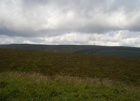
Bache hill 7 apr 13
Bache Hill (Welsh: Bryn Bach) is a subsidiary summit of Rhos Fawr or Great Rhos, in the Radnor Forest in Wales. It is located to the east of Black Mixen. The summit is marked by a trig point built on an ancient burial mound.
Contents
- Bache hill 7 apr 13
- Map of Bache Hill Presteigne UK
- British open series round 1 task 1 bache hill wales
- References
Map of Bache Hill, Presteigne, UK
Some controversy arises from the burial mound; in that 610 metres might be the top of the man-made mound. Some walkers therefore doubt Bache Hill's 2,000-foot status. However, the latest OS Explorer Maps shows a large 610-metre contour round the summit.
British open series round 1 task 1 bache hill wales
References
Bache Hill Wikipedia(Text) CC BY-SA