
Listing Hewitt, Nuttall, OS grid SO182639 Elevation 650 m | Topo map OS Landranger 148 Prominence 45 m | |
 | ||
Similar Rhos Fawr, Bache Hill, Drygarn Fawr, Gorllwyn, Pen y Garn | ||
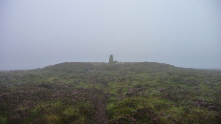
Black Mixen (Welsh: Y Domen Ddu) is a subsidiary summit of Rhos Fawr or Great Rhos in the Radnor Forest. The summit is large peat bog plateau. The summit is marked with a cairn, and is next to a radio transmitter and its building.
Map of Black Mixen, Llandrindod Wells, UK
Black Mixen is the only Nuttall to have a communications mast (a radio transmitter) on its summit . To the east is Bache Hill, to the south are the Black Mountains, to the west is the Great Rhos plateau.
References
Black Mixen Wikipedia(Text) CC BY-SA