
Length: 743.4 km (461.9 mi) Constructed 1965 | Existed: 1965 – present | |
 | ||
Highway system International E-road network, Autostrade of Italy | ||
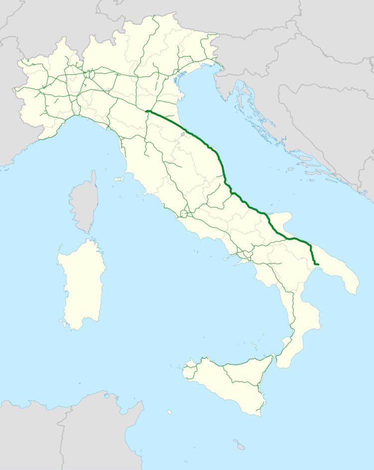
The Autostrada A14, also called Autostrada Adriatica, is a motorway which connects the city of Bologna to the city of Taranto. For most of its route if follows the Adriatic Sea coast of the Italian peninsula. Though it consists of three lanes in places to the north, it is a two lane route, with many climbs, descents, tunnels and bridges, for most of its 743.4 km length.
Contents
Map of A14 - Autostrada Adriatica, Italy
Inaugurated in 1965, under the management of Autostrade per l'Italia, it has been a major holiday route serving the larger coastal towns of Emilia-Romagna (Rimini, Riccione, Cesenatico, Cattolica) and further south in Marche, Abruzzo, Molise and Apulia.
History
The first part of the A14 which was opened included the Bologna bypass and the connection to the A1 Motorway (the so-called Autostrada del Sole - "Sun Motorway") and reached Forlì (1966). In 1969 the route reached Ancona, and the approximately 50 km section from Pescara to Lanciano was also opened. In 1973 the motorway was completed from Bologna to Bari (absorbing parts of the A17 near Bari) and the spur for Ravenna was also finished. The extension towards Taranto finally opened in 1975.