Peak Cain Mountain Width 9 km (5.6 mi) E-W Elevation 2,563 m Country United States of America | Length 25 km (16 mi) N-S Topo map USGS Cain Mountain Area 140 km² | |
 | ||
Similar Black Rock Range, Eldorado Mountains, Jackson Mountains, Seven Troughs Range, Hickison Petroglyph Recreatio | ||
The Augusta Mountains are a small mountain range in Pershing, Churchill and Lander counties of Nevada.
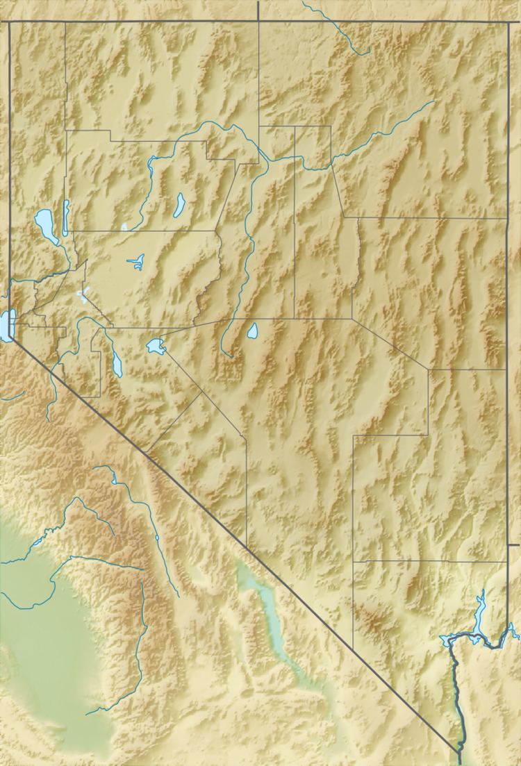
Map of Augusta Mountains, Nevada 89820, USA
To the northeast the range merges with the Fish Creek Range. To the north across Jersey Valley lies the Tobin Range and to the west across the Dixie Valley is the Stillwater Range. The Clan Alpine Mountains and the New Pass Range lie to the south and to the east across Antelope Valley are Ravenswood Mountain and the Shoshone Range.
The Range is included within the 89,372 acres (361.68 km2) Augusta Mountains Wilderness Study Area.
The fossil aquatic reptile Augustasaurus was discovered in the Triassic Favret Formation in the Augusta Mountains and named after the range.
References
Augusta Mountains Wikipedia(Text) CC BY-SA
