
Peak New Pass Peak Elevation 2,744 m | Topo map USGS New Pass Peak Country United States of America | |
 | ||
Length 16 mi (26 km) North-south | ||
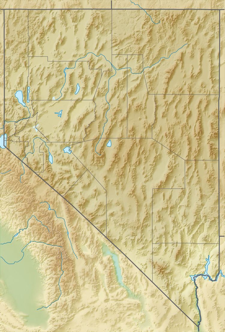
The New Pass Range is a mountain range in Lander and Churchill counties of Nevada. The range is a north-south trending range which straddles the Lander-Churchill county boundary for about 16 miles (26 km). The highest peak New Pass Peak has an elevation of 9,003 feet (2,744 m). US Route 50 crosses New Pass Summit on the south end of the range between Austin to the east and Fallon on to the west.
Map of New Pass Range, Nevada 89310, USA
The Desatoya Mountains lie to the southwest and the Clan Alpine Mountains to the west. To the north is the Augusta Mountains with Antelope Valley to the northeast. To the east is Ravenswood Mountain at the south end of the Shoshone Range and Nevada State Route 305. To the southeast across the Reese River Valley is Austin at the north end of the Toiyabe Range.