
Peak Seven Trough Peak Width 5 mi (8.0 km) E-W Area 362.6 km² | Length 19 mi (31 km) NNE-SSW Elevation 2,376 m Country United States of America | |
 | ||
Topo map USGS Seven Troughs, Juniper Flatand Rocky Canyon 7.5 min. quads | ||
The Seven Troughs Range is a mountain range in western Pershing County, Nevada.
Contents
Map of Seven Troughs Range, Nevada, USA
The name is derived from a series of seven stock watering troughs placed below a set springs.
Neighboring features include:
Mining camps
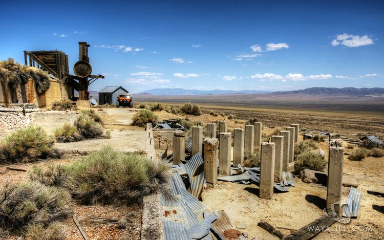
Along the southeast margin of the range above Sage Valley are several ghost towns dating from the early 1900s which served the gold mining activity in the canyons. From northeast to southwest are the sites of Ferrell, Mazuma, Tunnel Camp and Vernon.
References
Seven Troughs Range Wikipedia(Text) CC BY-SA