
GNIS feature ID 0467402 Area 95.12 km² Population 527 (2010) | Time zone CST (UTC-6) Elevation 351 m Local time Wednesday 3:30 AM | |
 | ||
ZIP codes 52144, 52147, 52166, 52171, 52175 Weather 2°C, Wind NW at 18 km/h, 97% Humidity | ||
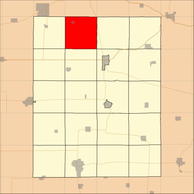
Auburn Township is one of twenty townships in Fayette County, Iowa, USA. As of the 2010 census, its population was 527.
Contents
- Map of Auburn IA USA
- Geography
- Cities
- Unincorporated communities
- Adjacent townships
- Cemeteries
- Major highways
- School districts
- Political districts
- References
Map of Auburn, IA, USA
Geography
According to the United States Census Bureau, Auburn Township covers an area of 36.7 square miles (95.1 km2), all of it land.
Cities
Unincorporated communities
Adjacent townships
Cemeteries
The township contains these three cemeteries: Eden, Oak Ridge and Saint Lukes Catholic.
Major highways
School districts
Political districts
References
Auburn Township, Fayette County, Iowa Wikipedia(Text) CC BY-SA