
Founded 1848 Unemployment rate 8.0% (Apr 2015) | Area 2,437 km² Population 21,283 (2013) | |
 | ||
Website ashleycounty.arkansas.gov University Crossett School of Cosmetology Points of interest Wiggins Cabin, Hamburg Presbyterian Church, Overflow National Wildlife R, Ashley County Museum | ||
Ashley County is a county located in the U.S. state of Arkansas. As of the 2010 census, the population was 21,853. The county seat is Hamburg. The county was formed in 1848 from parts of Chicot, Drew and Union counties and named after Chester Ashley. It is an alcohol prohibition or dry county.
Contents
- Map of Ashley County AR USA
- History
- Geography
- Adjacent counties
- National protected areas
- Demographics
- Cities
- Town
- Census designated places
- Unincorporated community
- Townships
- References
Map of Ashley County, AR, USA
History
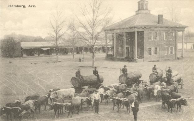
Ashley County, the fifth-largest county in Arkansas in terms of land area, was formed on November 30, 1848 from portions of Drew, Chicot and Union Counties. It was named after Chester Ashley, a US Senator and land speculator. The final borders were laid in 1861. The courtroom in the courthouse has a one-of-a-kind architecture: it is round, and the seats are arranged so that members of the audience can always see each other.
Geography
According to the U.S. Census Bureau, the county has a total area of 941 square miles (2,440 km2), of which 925 square miles (2,400 km2) is land and 15 square miles (39 km2) (1.6%) is water. The lowest point in the state of Arkansas is located on the Ouachita River in Ashley County and Union County, where it flows out of Arkansas and into Louisiana.
Adjacent counties
National protected areas
Demographics
As of the 2000 United States Census, there were 24,209 people, 9,384 households, and 6,906 families residing in the county. The population density was 26 people per square mile (10/km²). There were 10,615 housing units at an average density of 12 per square mile (4/km²). The racial makeup of the county was 69.78% White, 27.10% Black or African American, 0.21% Native American, 0.18% Asian, 0.05% Pacific Islander, 1.73% from other races, and 0.96% from two or more races. 3.21% of the population were Hispanic or Latino of any race.
There were 9,384 households out of which 33.60% had children under the age of 18 living with them, 56.80% were married couples living together, 13.00% had a female householder with no husband present, and 26.40% were non-families. 23.90% of all households were made up of individuals and 11.20% had someone living alone who was 65 years of age or older. The average household size was 2.55 and the average family size was 3.02.
In the county, the population was spread out with 26.80% under the age of 18, 8.30% from 18 to 24, 27.20% from 25 to 44, 23.90% from 45 to 64, and 13.80% who were 65 years of age or older. The median age was 36 years. For every 100 females there were 93.30 males. For every 100 females age 18 and over, there were 90.60 males.
The median income for a household in the county was $31,758, and the median income for a family was $37,370. Males had a median income of $35,089 versus $19,501 for females. The per capita income for the county was $15,702. About 13.90% of families and 17.50% of the population were below the poverty line, including 25.70% of those under age 18 and 17.20% of those age 65 or over.
As of 2010 Ashley County had a population of 21,853 people. 68.19% of the population were non-Hispanic whites, 25.81% were blacks, 0.32% Native Americans, 0.18% Asians and 4.89% Hispanics or Latinos.
In 2000, the largest denominational group was the Evangelical Protestants (with 16,752 adherents) and Mainline Protestants (with 1,817 adherents). The largest religious bodies were The Southern Baptist Convention (with 11,398 members) and The American Baptist Association (with 2,890 members).
Cities
Town
Census-designated places
Unincorporated community
Townships
Townships in Arkansas are the divisions of a county. Each township includes unincorporated areas; some may have incorporated cities or towns within part of their boundaries. Arkansas townships have limited purposes in modern times. However, the United States Census does list Arkansas population based on townships (sometimes referred to as "county subdivisions" or "minor civil divisions"). Townships are also of value for historical purposes in terms of genealogical research. Each town or city is within one or more townships in an Arkansas county based on census maps and publications. The townships of Ashley County are listed below; listed in parentheses are the cities, towns, and/or census-designated places that are fully or partially inside the township.
Source: