
Airport type Public 1/19 3,502 Elevation 368 m | Elevation AMSL 1,206 ft / 368 m Address Ashland, OH 44805, USA Phone +1 419-289-0000 | |
 | ||
Owner Ashland County Airport Authority | ||
Piper meridian ashland county airport 3g4
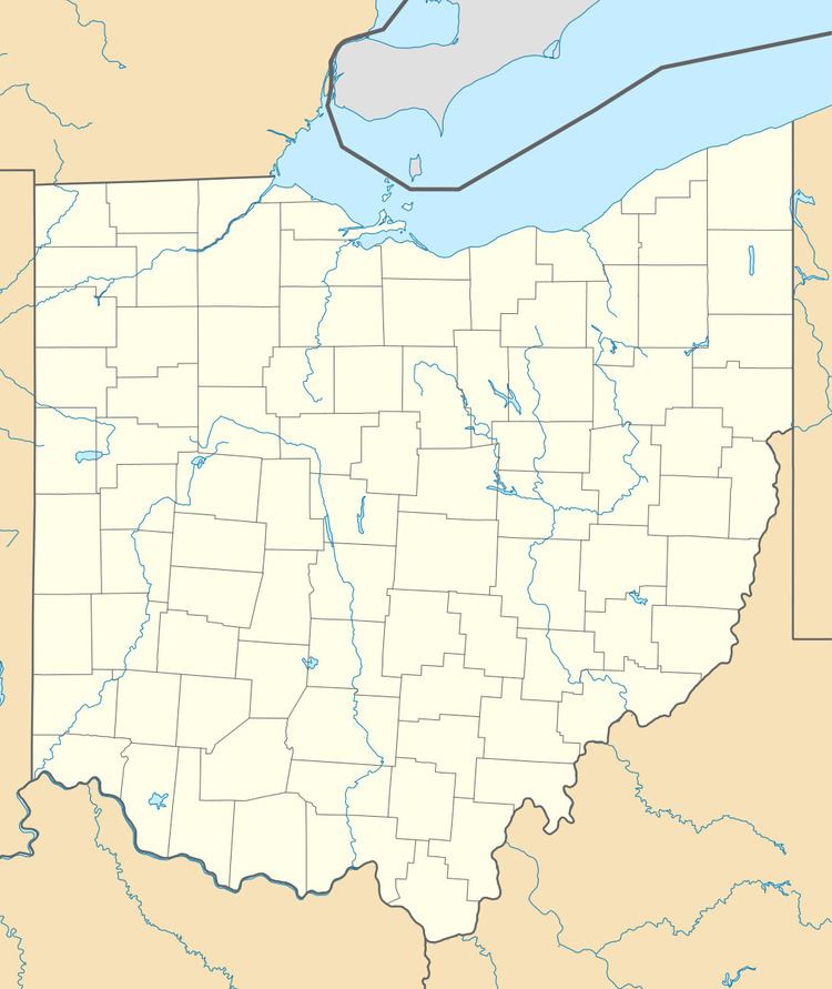
Ashland County Airport (FAA LID: 3G4) is a public-use airport in Ashland County, Ohio, United States. It is located three nautical miles (3.5 mi, 5.6 km) northeast of the central business district of the City of Ashland. It is included in the FAA's National Plan of Integrated Airport Systems for 2011–2015, which categorized it as a general aviation facility.
Contents
Facilities and aircraft
Ashland County Airport covers an area of 45 acres (18 ha) at an elevation of 1,206 feet (368 m) above mean sea level. It has one runway designated 1/19 with an asphalt surface measuring 3,502 by 75 feet (1,067 x 23 m).
For the 12-month period ending April 19, 2010, the airport had 49,240 aircraft operations, an average of 134 per day: 96% general aviation, 3% air taxi, and 1% military. At that time there were 37 aircraft based at this airport: 89% single-engine and 11% multi-engine.