
Length 320 km Basin area 9,013 km² | Discharge 84 m³/s | |
 | ||
Source | ||
View mirebalais haiti le matin route d partamentale 11 artibonite river ht 3
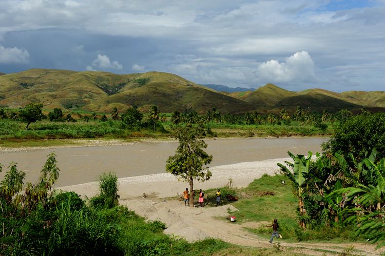
The Artibonite River is a 320 km long river in Haiti. It is the longest as well as the most important river in Haiti and the longest on the island of Hispaniola. Forming part of the international border between Haiti and the Dominican Republic, the river's sources are in the Cordillera Central in the Dominican Republic, however most of its length lies in Haiti. The river empties into the Gulf of Gonâve.
Contents
- View mirebalais haiti le matin route d partamentale 11 artibonite river ht 3
- Map of Riviere de La Artibonite Haiti
- References
Map of Riviere de La Artibonite, Haiti
As namesake for the surrounding Artibonite Valley and the Artibonite department in Haiti. The river is used for irrigation and the Peligre Hydroelectric Dam situated on it produces the country's supply of hydroelectricity. In October 2010, following a fatal cholera outbreak (the first in generations) in the Haitian headwaters of the river, locals were alerted that drinking untreated water from this river may spread the disease.