
 | ||
Similar Pico Duarte, Cordillera Septentrional, Baoruco Mountain Range, Lake Enriquillo, Cordillera Oriental | ||
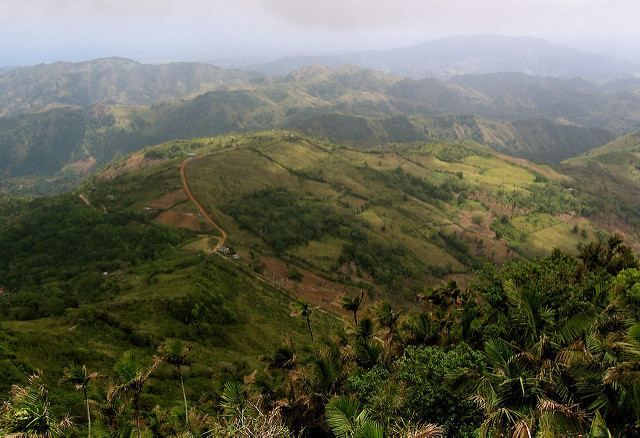
The Cordillera Central is the highest mountain range in the Dominican Republic and in all of the Caribbean region, running through the heart of the island of Hispaniola.
Contents
Map of Cordillera Central, 93000, Dominican Republic
Geography
Connected to the Massif du Nord in Haiti, it gradually bends southwards and finishes near the town of San Cristóbal on the Caribbean coastal plains. Because of its altitude, cool temperature, and scenic vistas, the Cordillera Central is also known as the "Dominican Alps". The Cordillera Central is home to the highest peaks in the West Indies: Pico Duarte (3,098 m) (the highest point in the Caribbean), La Pelona (3,094 m) and La Rucilla (3,049 m).
Parks
José Armando Bermúdez National Park (Parque Nacional Armando Bermúdez) is located in the range, protecting a diversity of flora and fauna species. The Pale Magnolia tree (Magnolia pallescens), an endangered species endemic to Hispaniola, grows in the range and park.
Other ranges
In the southwest corner of the country, south of the Cordillera Central, there are two, largely dry and rocky ranges. The more northerly of the two is the Sierra de Neiba, while in the south the Sierra de Bahoruco is a continuation of the Massif de la Selle in Haiti.