
Country Haiti Population 1.728 million (2015) Clubs and Teams Racing FC, Balti SC | Area 4,887 km² | |
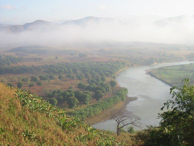 | ||
Artibonite (Haitian Creole: Latibonit) is one of the ten departments of Haiti. With an area of 4,887 km2 it is Haiti's largest department. Artibonite has a population of 1,727,524 in 2003. The region is the country's main rice-growing area. The main cities are Gonaïves (the capital) and Saint-Marc. In February 2004 an insurgency tried unsuccessfully to declare Artibonite's independence.
Contents
Map of Artibonite Department, Haiti
The department has been in a state of an economic decline since insurgencies and coups have reduced the nation's stability. Since the election of President René Garcia Préval, the production of rice and other crops has been on an increase.
Deschapelles, in the Artibonite Valley, is the location of the Hôpital Albert Schweitzer. The name L'Artibonite is derived from the Artibonite River.