Native name Lyngsalpene | Elevation 1,833 m | |
Length 90 km (56 mi) North-South Width 15 km (9.3 mi) East-West Mountains Jiehkkevárri, Piggtind, Store Lenangstind, Store Fornestinden | ||
Lyngen alps the magic mountains
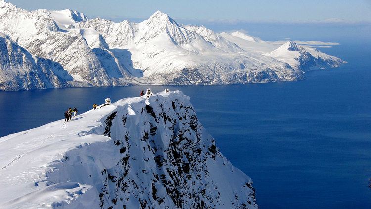
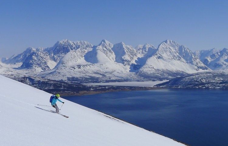
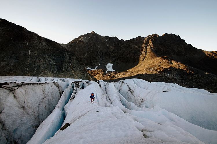
The Lyngen Alps (Norwegian: Lyngsalpene) are a mountain range in northeastern Troms county in Norway, east of the city of Tromsø. The mountain range runs through the municipalities of Lyngen, Balsfjord, and Storfjord. The mountains follow the western shore of the Lyngen fjord in a north-south direction. The length of the range is at least 90 kilometres (56 mi) (depending on definition—there are mountains all the way south to the border with Sweden) and the width is 15–20 kilometres (9.3–12.4 mi). The mountains dominate the Lyngen Peninsula, which is bordered by the Lyngen fjord to the east, and the Ullsfjorden to the west. The British climber William Cecil Slingsby was the first to climb many of the peaks.
Contents
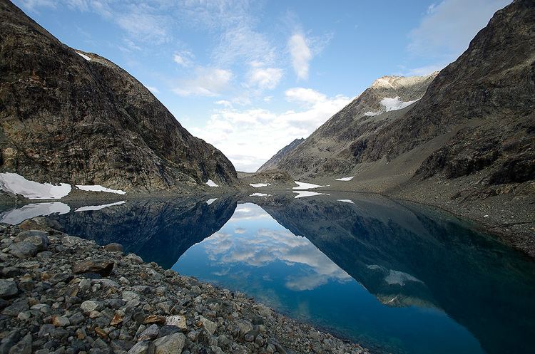
The mountains are of alpine character, popular among extreme skiers. The highest summit is the 1,833-metre (6,014 ft) tall Jiekkevarre, the highest mountain in Troms county; Store Lenangstind is also a prominent mountain. There are several glaciers in the mountains. The Lyngen Alps are sufficiently high as to give rain shadow in the interior lowland areas east of the mountains.
Norway ski tour 2015 lyngen alps version 2