
Elevation 1,470 m | ||
 | ||
People also search for Mount Breckinridge, Mount Elkins, Mount McMaster, Mount Maines, Mount Kjerringa, Mount King | ||
Armstrong Peak is a peak, 1,470 metres (4,820 ft) high, standing 15 nautical miles (28 km) southeast of Mount Codrington in Enderby Land, part of the Australian Antarctic Territory, in East Antarctica.
Contents
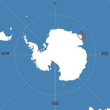
Map of Armstrong Peak, Antarctica
Discovery and naming
Armstrong Peak was mapped by Norwegian cartographers from aerial photographs taken by the Lars Christensen Expedition, 1936–37, and named "Austnuten" (the east peak). The peak was re-photographed by Australian National Antarctic Research Expeditions (ANARE) in 1956. An astrofix was obtained nearby in December 1959 by J.C. Armstrong, ANARE surveyor at Mawson Station, for whom the feature was renamed by the Antarctic Names Committee of Australia in 1960.
References
Armstrong Peak Wikipedia(Text) CC BY-SA