
Easiest route basic snow/ice climb | Mountain type Metamorphic Elevation 2,050 m | |
 | ||
Age of rock 2837 million years (Archaean eon) People also search for Mount Elkins, Mount McMaster, Armstrong Peak, Mount Maines, Mount Kjerringa, Mount King | ||
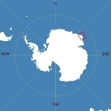
Mount Breckinridge is a mountain, 2,050 metres (6,730 ft) high, standing 4 nautical miles (7 km) south of Stor Hånakken Mountain in the Napier Mountains of Enderby Land, Antarctica. It was mapped by Norwegian cartographers from aerial photos taken by the Lars Christensen Expedition of 1936–37, and was named "Langnuten" (the long peak). It was rephotographed by the Australian National Antarctic Research Expeditions in 1956 and renamed by the Antarctic Names Committee of Australia for J.E. Breckinridge a meteorologist at Wilkes Station in 1961.
Map of Mount Breckinridge, Antarctica
References
Mount Breckinridge Wikipedia(Text) CC BY-SA