
Existed: 1926 – present South end: AR 163 Length 11.97 km | North end: AR 158 at Lunsford Constructed 1926 | |
 | ||
Counties Izard County, Arkansas | ||
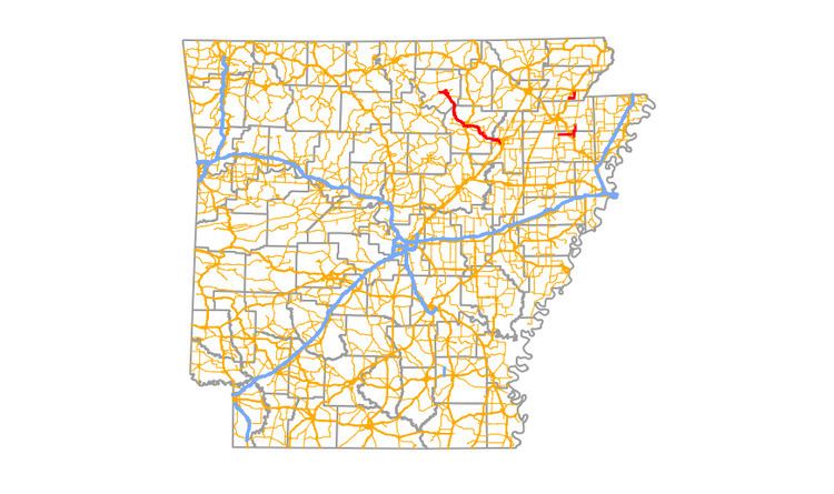
Highway 69 (AR 69, Ark. 69, and Hwy. 69) is a designation for three north–south state highways in northeast Arkansas. A western route of 57.64 miles (92.76 km) runs south from Highway 9 at Melbourne to Highway 14/Highway 367 in Newport. A second route of 15.31 miles (24.64 km) begins at Highway 163 and runs north through Trumann to Highway 158 at Lunsford. A third route begins at U.S. Route 49/Highway 1 (US 49/AR 1) at the city limits of Paragould and runs north to terminate at US 412 in the city.
Contents
- Map of AR 69 Paragould AR 72450 USA
- Melbourne to Newport
- Shady Grove to Lunsford
- Paragould segment
- Auxiliary routes
- References
Map of AR-69, Paragould, AR 72450, USA
Melbourne to Newport
AR 69 begins at AR 367 in Newport and heads north to Jacksonport. A Spur Route 69 develops in Jacksonport. The route leads northwest to AR 122 in Newark and AR 233 in Sulphur Rock. Continuing north, the route passes through Cushman and Mount Pleasant.
Shady Grove to Lunsford
Arkansas Highway 69 begins in Poinsett County and heads east from AR 163. It crosses U.S. Route 63 as Exit 29 and continues east to Trumann. After detaching a spur route that leads through Trumann, AR 69 leads mostly north and ends at AR 158.
Paragould segment
AR 69 runs from US 49/AR 1 south of Paragould. The route runs east then north to terminate at US 412/AR 135 in downtown Paragould.
The entire route is in Greene County.
Auxiliary routes
Highway 69 has three business routes and four spur routes. As cities have grown, bypasses have become necessary, and the former downtown alignments of AR 69 have become the business routes discussed here.