
Country United States ZIP codes 72450-72451 Elevation 92 m Population 27,078 (2013) | Time zone Central (CST) (UTC-6) Area code(s) 870 Local time Wednesday 1:56 PM | |
 | ||
Weather 13°C, Wind NE at 26 km/h, 54% Humidity Colleges and Universities Crowley's Ridge College, Arkansas Northeastern College | ||
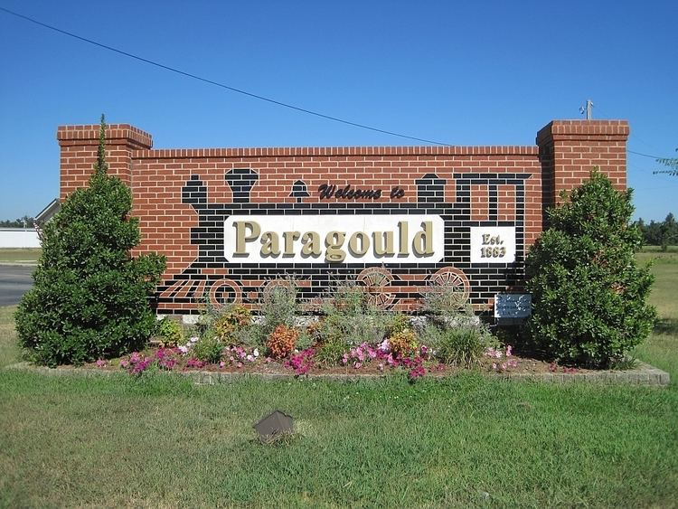
Paragould is the county seat of Greene County, and the 19th-largest city in Arkansas, in the United States. The city is located in northeastern Arkansas on the eastern edge of Crowley's Ridge, a geologic anomaly contained within the Arkansas delta. The city's name is a blend combining the last names of competing railroad magnates J. W. Paramore and Jay Gould. Paramore's Texas & St. Louis Railway (later the Cotton Belt) and Gould's St. Louis, Iron Mountain and Southern Railway (later the Missouri Pacific) intersected here in 1882.
Contents
Map of Paragould, AR 72450, USA
A group of citizens chose the name, and it is believed to be the only city in the world with this name. Gould objected to his name's being second and refused to list the new town on his schedules. The city had a population of 26,113 at the 2010 census and an estimated population of 27,900 in 2015.
Paragould is the principal city of the Paragould, Arkansas Micropolitan Statistical Area and is also a part of the Jonesboro-Paragould Combined Statistical Area. The Paragould micropolitan area's population was 42,090 at the 2010 census, and the Jonesboro-Paragould Combined Statistical Area's population was 163,116.
Geography
Paragould is located southeast of the center of Greene County at 36°3′25″N 90°30′11″W (36.057075, -90.502938). U.S. Routes 412 and 49 intersect in the city west of downtown. US 412 leads east 9 miles (14 km) to the Missouri state line at the St. Francis River, and a further 23 miles (37 km) northeast to Kennett, Missouri; to the west US 412 leads 26 miles (42 km) to Walnut Ridge. US 49 leads northeast 32 miles (51 km) to Piggott and southwest 20 miles (32 km) to Jonesboro. The closest major city is Memphis, Tennessee, 82 miles (132 km) to the southeast.
According to the United States Census Bureau, the city has a total area of 31.4 square miles (81.2 km2), of which 31.2 square miles (80.8 km2) is land and 0.2 square miles (0.4 km2), or 0.52%, is water.
List of highways:
Demographics
As of the 2010 United States Census, there were 26,113 people residing in the city. The racial makeup of the city was 94.4% White, 0.8% Black, 0.4% Native American, 0.3% Asian, <0.1% Pacific Islander, <0.1% from some other race and 1.2% from two or more races. 2.8% were Hispanic or Latino of any race.
As of the census of 2000, there were 22,017 people, 8,941 households, and 6,133 families residing in the city. The population density was 714.6 people per square mile (275.9/km²). There were 9,789 housing units at an average density of 317.7 per square mile (122.7/km²). The racial makeup of the city was 97.87% White, 0.04% Black or African American, 0.42% Native American, 0.22% Asian, 0.02% Pacific Islander, 0.56% from other races, and 0.86% from two or more races. 1.33% of the population were Hispanic or Latino of any race.
There were 8,941 households out of which 31.9% had children under the age of 18 living with them, 53.7% were married couples living together, 11.4% had a female householder with no husband present, and 31.4% were non-families. 27.5% of all households were made up of individuals and 13.0% had someone living alone who was 65 years of age or older. The average household size was 2.40 and the average family size was 2.92.
In the city, the population was spread out with 24.8% under the age of 18, 9.6% from 18 to 24, 28.0% from 25 to 44, 21.7% from 45 to 64, and 15.8% who were 65 years of age or older. The median age was 36 years. For every 100 females there were 90.7 males. For every 100 females age 18 and over, there were 86.9 males.
The median income for a household in the city was $30,815, and the median income for a family was $39,431. Males had a median income of $28,103 versus $20,623 for females. The per capita income for the city was $18,076. About 8.4% of families and 12.0% of the population were below the poverty line, including 12.1% of those under age 18 and 12.1% of those age 65 or over.
Climate
Paragould has a humid subtropical climate (Köppen climate classification Cfa).
Health and education
Paragould is home to Arkansas State University Paragould, Arkansas Northeastern College, Black River Technical College, and Crowley's Ridge College. Paragould has two public school districts, the Greene County Tech School District and the Paragould School District, as well as Crowley's Ridge Academy and St. Mary's Catholic School private school systems.
Arkansas Methodist Medical Center is Paragould's only hospital. The 127-bed acute-care hospital's campus includes a professional office building with community wellness center and a building with campus offices for Arkansas Northeastern College's nursing programs.
Crime
On December 15, 2012, it was announced that "beginning in 2013, the department would deploy a new street crimes unit to high crime areas on foot to take back the streets." The remaining town hall meetings to inform the public of the new plan were cancelled due to the volume of threats received as a result of national media exposure. This was done in regards to public safety, as continuing to hold the meetings could have posed a danger to attending citizens. It is unknown at this time if the plan will still be put into effect.