
Population 43,097 (2013) | Founded 5 November 1833 | |
 | ||
Points of interest Crowley's Ridge State Park, Lake Frierson State Park, Paragould Labor Park Center, Green County Museum I, Harmon Park | ||
Greene County is a county located in the U.S. state of Arkansas. As of the 2010 census, the population was 42,090. The county seat is Paragould, which sits atop Crowley's Ridge.
Contents
- Map of Greene County AR USA
- History
- Geography
- Adjacent counties
- Demographics
- Cities
- Towns
- Unincorporated communities
- Townships
- References
Map of Greene County, AR, USA
Greene County comprises the Paragould, AR Micropolitan Statistical Area, which is also included in the Jonesboro–Paragould, AR Combined Statistical Area.
History
The first settler in the area was Benjamin Crowley, who arrived from Kentucky in 1821 and made his home about 12 miles west of Paragould.
Greene County was formed on 5 November 1833 out of portions of Lawrence County and originally contained parts of present Clay and Craighead counties. The county was named for Revolutionary War hero Nathanael Greene. The first county seat was in Benjamin Crowley's home. By 1836, when Arkansas became a state, the county seat was located in a settlement called "Paris" (not to be confused with present-day Paris, Arkansas).
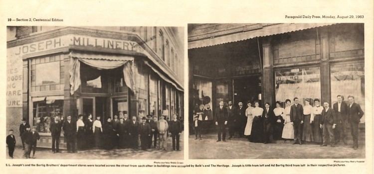
In 1848 a national highway was made through the area, and the county seat was moved to Gainesville, which had a reputation as rather lawless. The seat remained there until 1883, when it was transferred to the new town of Paragould. The peoples in Gainesville opposed the move, and shots reportedly were fired, since tempers were high. The courthouse was built in 1888 and survives in downtown Paragould.
Geography
According to the U.S. Census Bureau, the county has a total area of 580 square miles (1,500 km2), of which 578 square miles (1,500 km2) is land and 1.9 square miles (4.9 km2) (0.3%) is water.
Adjacent counties
Demographics
As of the 2010 United States Census, there were 42,090 people residing in the county. The racial makeup of the county was 95.4% White, 0.6% Black, 0.5% Native American, 0.3% Asian, <0.1% Pacific Islander, <0.1% from some other race and 1.1% from two or more races. 2.1% were Hispanic or Latino of any race.
As of the 2000 United States Census, there were 37,331 people, 14,750 households, and 10,708 families residing in the county. The population density was 65 people per square mile (25/km²). There were 16,161 housing units at an average density of 28 per square mile (11/km²). The racial makeup of the county was 97.45% White, 0.13% Black or African American, 0.42% Native American, 0.17% Asian, 0.02% Pacific Islander, 0.47% from other races, and 1.34% from two or more races. 1.16% of the population were Hispanic or Latino of any race.
There were 14,750 households out of which 33.10% had children under the age of 18 living with them, 59.20% were married couples living together, 9.70% had a female householder with no husband present, and 27.40% were non-families. 24.00% of all households were made up of individuals and 11.00% had someone living alone who was 65 years of age or older. The average household size was 2.49 and the average family size was 2.95.
In the county, the population was spread out with 25.20% under the age of 18, 9.10% from 18 to 24, 28.70% from 25 to 44, 23.10% from 45 to 64, and 13.90% who were 65 years of age or older. The median age was 36 years. For every 100 females there were 95.30 males. For every 100 females age 18 and over, there were 91.90 males.
The median income for a household in the county was $30,828, and the median income for a family was $37,316. Males had a median income of $27,535 versus $20,375 for females. The per capita income for the county was $16,403. About 9.90% of families and 13.30% of the population were below the poverty line, including 15.40% of those under age 18 and 12.80% of those age 65 or over.
Cities
Towns
Unincorporated communities
Townships
Townships in Arkansas are the divisions of a county. Each township includes unincorporated areas; some may have incorporated cities or towns within part of their boundaries. Arkansas townships have limited purposes in modern times. However, the United States Census does list Arkansas population based on townships (sometimes referred to as "county subdivisions" or "minor civil divisions"). Townships are also of value for historical purposes in terms of genealogical research. Each town or city is within one or more townships in an Arkansas county based on census maps and publications. The townships of Greene County are listed below; listed in parentheses are the cities, towns, and/or census-designated places that are fully or partially inside the township.