
South end: AR 148 Length 26.88 km | Counties: Mississippi | |
 | ||
County | ||
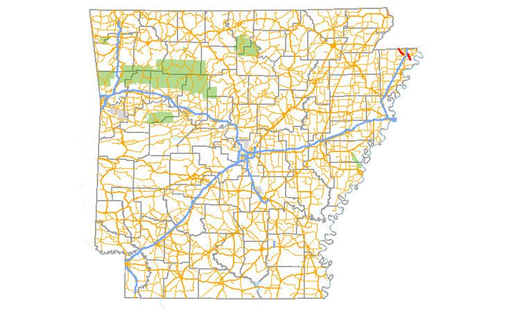
Arkansas Highway 151 (AR 151, Hwy. 151) is a designation for two north–south state highways in Mississippi County, Arkansas. An eastern route of 5.75 miles (9.25 km) runs from Highway 148 north to Highway 18. A second route of 6.65 miles (10.70 km) begins at Highway 18 in Blytheville and runs north to Missouri supplemental route TT (SSR-TT) at the Missouri state line. A third route was dedicated in May 2013 and begins at State Line Avenue in Texarkana and continues east to Interstate 49/U.S. Route 71.
Contents
- Map of AR 151 Blytheville AR 72315 USA
- Highway 148 to Blytheville
- Blytheville to Missouri
- Texarkana
- Major intersections
- References
Map of AR-151, Blytheville, AR 72315, USA
Highway 148 to Blytheville
The route begins at Highway 148 southeast of Blytheville and runs north near Promised Land to intersect the eastern end of Highway 312 at the Blytheville city limits. Highway 151 continues north into Blytheville over the BNSF railroad tracks to terminate at Highway 18.
Blytheville to Missouri
Highway 151 begins at Highway 18 (Main Street) in Blytheville and runs north to Gosnell and Arkansas International Airport. The route intersects and forms a concurrency with Highway 181 northwest for 2.04 miles (3.28 km), with Highway 151 splitting north to terminate at Missouri supplemental route TT at the Missouri state line.
Texarkana
This 1.4 miles (2.3 km) section is an extension of Loop 151 and was formerly signed Arkansas Highway 245. It serves to complete the three-quarter, freeway-grade beltway around Texarkana, which connects I-49 with Interstate 369. The route is not signed with 151 shields and has no exits between its termini.
Major intersections
Mile markers reset at concurrencies. The entire route is in Mississippi County.