
Length 14.18 km | ||
 | ||
East end: | ||
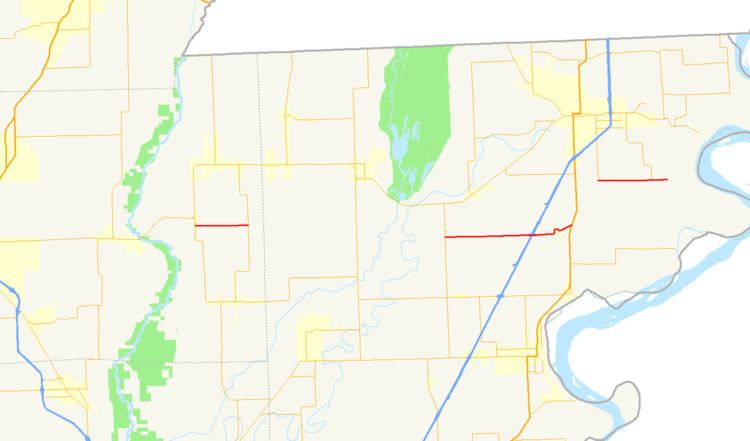
Highway 148 (AR 148, Ark. 148, and Hwy. 148) is a designation for three east–west state highways in the Upper Arkansas Delta. One route of 4.61 miles (7.42 km) begins at Highway 239 and runs east to a Mississippi River levee. A second route of 8.81 miles (14.18 km) begins at Highway 181 and runs east to US Highway 61 (US 61) in Burdette. A third route of 3.53 miles (5.68 km) begins at Highway 135 in Black Oak and runs east to Highway 139. All routes are maintained by the Arkansas State Highway and Transportation Department (AHTD).
Contents
- Map of State Hwy 148 Arkansas USA
- Highway 239 to Mississippi River
- Highway 181 to Burdette
- Black Oak to Highway 139
- References
Map of State Hwy 148, Arkansas, USA
Highway 239 to Mississippi River
AR 148 begins at the southern terminus of AR 239, heads east past the southern terminus of AR 151 and ends at a Mississippi River levee.
Highway 181 to Burdette
It begins heading east from an intersection with AR 181 through very rural farmlands until it enters Burdette town limits as it interchanges with I-55's Exit 57. After winding through some curves in downtown Burdette, it ends at an unsignalized intersection with US 61.
Black Oak to Highway 139
The highway begins at Highway 135 (Main St) in Black Oak south of downtown. Highway 148 runs due east as a section line road to Highway 139 in eastern Craighead County near the Mississippi County line.