
Existed: 1926 – present Constructed 1926 | North end: Campground Road Length 8.09 km | |
 | ||
South end: US 63 / US 79 near Humphrey | ||
The new arkansas highway 13 connector
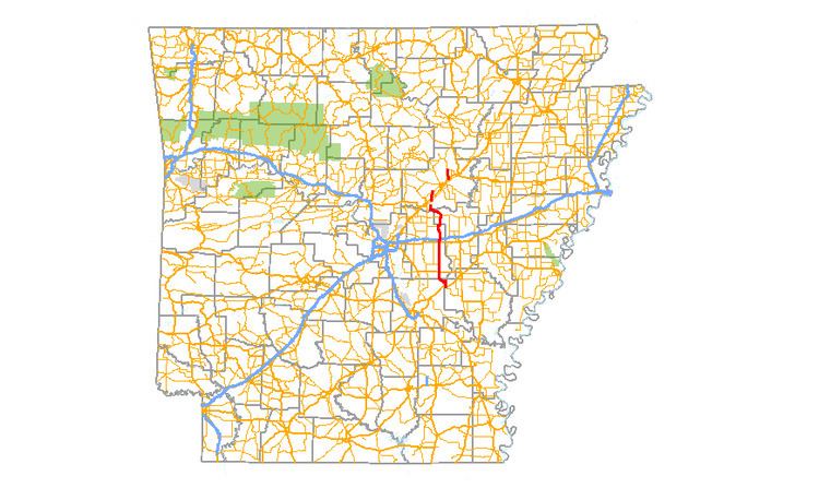
Highway 13 (AR 13, Ark. 13 and Hwy. 13) is a designation for three state highways in the central part of the U.S. state of Arkansas. The longest segment of 54.58 miles (87.84 km) travels from U.S. Route 79 (US 79) in Humphrey to Campground Road east of Beebe. There exists two short segments in White County; one traveling 9.90 miles (15.93 km) from Highway 367 in McRae to Highway 36 in Searcy and the other traveling 6.13 miles (9.87 km) from Highway 367 in Judsonia to Highway 258.
Contents
- The new arkansas highway 13 connector
- Map of AR 13 Arkansas USA
- Beebe to Humphrey
- McRae to Highway 36
- Judsonia to Highway 258
- History
- References
Map of AR-13, Arkansas, USA
The southern part of Highway 13 was replaced by Highway 81 during World War II. Then, in 1989, when US 425 was commissioned, it replaced most of Highway 81.
Beebe to Humphrey
Highway 13 starts east of Beebe and heads south to Highway 38 at Hickory Plains, and a crossing of both I-40 and US 70 in Carlisle. The route continues south to US 167 in Humnoke and to US 63/US 79 at Humphrey, where the route terminates.
McRae to Highway 36
The route begins in McRae at Highway 367 and runs north across US 64/US 67/US 167, which are concurrent. Highway 13 is Exit 35 on the converged highways. The highway crosses Highway 267 at a four way stop then heads north onto the newly completed (as of spring 2016) Highway 13 south bypass to join with the former Honey Hill Rd to terminate at Highway 36 (Beebe Capps Expressway) at the western city limit of Searcy. As of summer 2016, construction has begun to join this segment with a north bypass segment planned to link with the third segment at Judsonia, Arkansas, described below.
Judsonia to Highway 258
The route begins at Highway 367 near Friendly Acres Park and runs west as Missile Base Road. Highway 13 meets US 64/US 67/US 167 at a grade-separated interchange north of Judsonia. After this bridging, AR 13 turns north to intersect Highway 157 before terminating at Highway 258 near the Emmett Miller House.
History
Highway 13 was one of the original 1926 state highways. The route ran about 90 miles (140 km) from U.S. Route 65 south of Pine Bluff to the Louisiana state line, changing to Louisiana 139. The southern portion of the route was replaced by Highway 81, with the entire routing being replaced by U.S. Route 425 when it was commissioned in 1989.