
Existed: 1941 – present 84A SR 85 → Constructed 1941 | Length 408.7 km | |
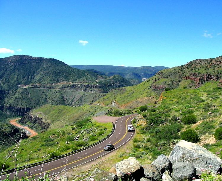 | ||
Arizona state route 77 north of tucson 12 3 11
State Route 77 (or SR 77) is a state highway in Arizona that traverses much of the state's length, stretching from its northern terminus at the boundary of the Navajo Nation north of Holbrook to its junction with I-10 in Tucson.
Contents
- Arizona state route 77 north of tucson 12 3 11
- Map of AZ 77 Arizona USA
- Route description
- Origin of the name of Tucsons Miracle Mile
- References
Map of AZ-77, Arizona, USA
Route description
At its southern terminus, north of Tucson, the road is known as Oracle Road until the final mile and a half when the road turns westward directly toward Interstate 10 and is called Miracle Mile Road, named such in 1962.
Past the Navajo Nation boundary, SR 77 becomes BIA Route 6 northbound towards Keams Canyon. Between Show Low and Globe, this highway is concurrent with U.S. Route 60. Its southernmost reaches were formerly part of U.S. Route 80 and U.S. Route 89, except for its terminal segment, the Miracle Mile segment of old Business 10 and State Route 84A.
Origin of the name of Tucson's Miracle Mile
Although it was thought for several years that Tucson's Miracle Mile derived its name from a June 1937 Arizona Highways magazine, historian David Leighton challenged this theory, in a February 23, 2015, article in the Arizona Daily Star newspaper. He explained that in 1936, real estate developer Stanley Williamson conceived the idea of creating a commercial center outside of the over-congested downtown retail district, in Tucson. His model for this business center was the Miracle Mile in Los Angeles, Calif. The one in L.A., was the idea of real estate agent A.W. Ross, who saw that the retail district in that city was overcrowded and, also saw that cars were becoming more common. He came up with the idea of buying farming land, along Wilshire Blvd., several miles out from downtown, with the belief that as more people bought automobiles they would be willing to drive farther, in order to avoid the lack of parking and congestion in the downtown area. While initially no one thought his idea would work, in time store after store came to his business center. The Miracle Mile eventually became one of Los Angeles' premier shopping districts. Ross originally called his business area, the Wilshire Boulevard Center, it was changed to the Miracle Mile in 1928.