
Elevation 648 m | Area 66.8 km² | |
 | ||
Weather 23°C, Wind N at 5 km/h, 75% Humidity | ||
Arcatao is a very small town in the Department of Chalatenango, El Salvador.
Contents
- Map of Arcatao Honduras
- Geography
- Demography
- Economy
- Roads
- Education
- Places of interest
- Holy Days
- Safety
- Health
- Sister cities
- References
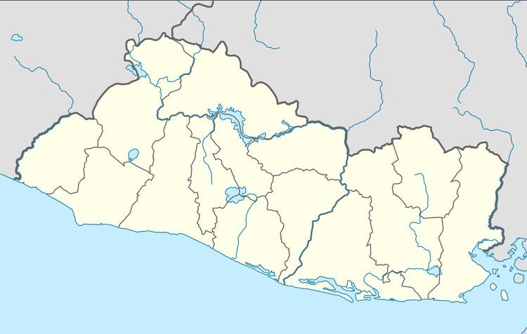
Map of Arcatao, Honduras
Geography
Arcatao is located 32 km east from Chalatenango at the border with the Republic of Honduras in a small valley between the mountains: La Cañada and Caracol. Rivers include the Sumpul River, Lempa River, Zazalapa River and the Guayampoque River. Its little villages are: Cerro Grande, Eramon, Las Vegas, Los Sitios, Teosinte and Los Filos.
Demography
Population: 800 inhabitants in 1992, 2,895 in 2004 and about 2,990 in 2007.
Economy
The principal source of income comes from the agricultural sector. With its templated climate most of the year and the heavy rainfall during the winter season, the soil is rich in nutrients allowing the growth of many crops like: white corn, a variety of colored beans, rice, sugar cane, tomatoes, watermelons, squash, chayotes, cucumbers. Fruits include mangoes, cashews, jocotes, bananas, coconuts and paternas. Other industries are the manufacturing of iron implements, like: knives, machetes, shovels, etc. and manual artistic souvenirs. Also monetary aid received from relatives working outside of El Salvador.
Roads
One of the roads is semi-paved and goes north-west bound, linking with other villages like Nueva Trinidad, San Jose Las Flores and Los Ranchos. This road in the near future will be part of the Route (CA-3) which will benefit many other cities along the border with Honduras. This project will start in Metapan ending in La Union. The other road goes south-east, connecting with the City of Nombre de Jesus (The Name of Jesus). There is another road linking with Guarita in Honduras and other goes east, which connects to La Virtud in Honduras as well. Autobuses travel to Chalatenango and San Salvador daily.
Education
There is a kindergarten and public School from 1st to 12th grade. Computer training and a public library is available.
Places of interest
Holy Days
There are two Patronal festivities: the first in on February 2. "Dia de la Candelaria" and August 24 "Dia de San Bartolome Apostol". During these two holy days, for about 3 or four days prior the holy day, the community meets and celebrates with different activities, like: El Correo, with people wearing costumes, they explode sparks everywhere. Tianguis or swap-meets are taking place at the central plaza. And typical food is served in every corner of the plaza.
Safety
Arcatao, specifically is quiet. There is no violence nor gangs interrupting the peace of the people. And the PNC or Civil Nacional Police is 24 hours on watch, to protect and serve.
Health
One Medical Center is available in an 80% of its potential. At the present, this Center is on need of outsider's support due to its facility seems too small for the amount of patients in need of medical services. Also it has not enough Medical Assistants to reach the 100% of performance.