
Country Honduras Area 172 km² | Department Lempira | |
 | ||
Municipality 20 November 1795; 221 years ago (1795-11-20) City 20 March 1934; 82 years ago (1934-03-20) | ||
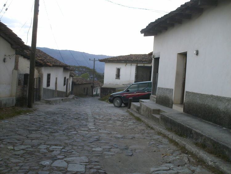
Guarita is a municipality in the Honduran department of Lempira.
Contents
Map of Guarita, Honduras
It is one of the oldest municipalities of the Lempira department. The best way to go to Guarita is via Santa Rosa de Copán-San Marcos de Ocotepeque-Cololaca-Guarita and it takes about 2.5 hours. This way is much more preferable than going via Gracias. The distance between Guarita and San Juan Guarita municipality is scarcely half hill. The road is in good condition most of the year. The deviation is located about 20 km from Cololaca, taking a right. The left deviation leads to the Tambla municipality.
History
In the census of 1,791 it was part of "El Curato de Sensenti", the deed of land as a municipality was given on November 20, 1795. It became a city on March 20, 1934.
Geography
Guarita is based on the half of a mountain. It is surrounded by pine and oak tree forests. Also the mountains and hills are very steep and irregular. The weather has changed from cool to warmer every year due to the Forest exploitation.
Boundaries
Its boundaries are:
Population
The cross-breed of Spanish settlers and native Indian is the majority in Guarita.
Tourism
Guarita is a municipality with a rich and vast history, because it was one of the very first organizations of the Spanish colonization, as proof it can be considered that it was part of the "Curato de Sensenti" and district to the other organizations that were emerging throughout the history of the department. Its architecture style is quite simple and colonial. It is great place to enjoy the stillness of rural life. The Salvadoran media has an important influence in this municipality.