
Country Myanmar Elevation 90 m | Area 70 ha | |
 | ||
Time zone Myanmar Standard Time (UTC+6:30) | ||
Apaw-ye Kyun or Apaw Ye Kyun is an island off the coast of Rakhine State, Burma.
Contents
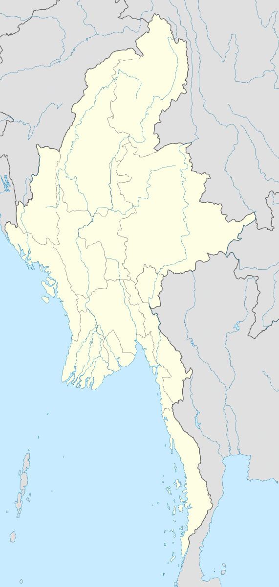
Map of Apaw-ye Kyun, Myanmar (Burma)
Geography
Apaw-ye Kyun is a bluff island 1.4 km (1 mi) long and 0.4 km (0 mi) wide. It is separated from the Rakhine coast by a 0.5 km (0 mi) wide sound.
The island is wooded and rises to a height of 90 metres (295 feet). There are mud volcanoes about 2 km (1 mi) to the west and the SSW of the island.
References
Apaw-ye Kyun Wikipedia(Text) CC BY-SA