
Population 38.7 million (Jul 2005) | ||
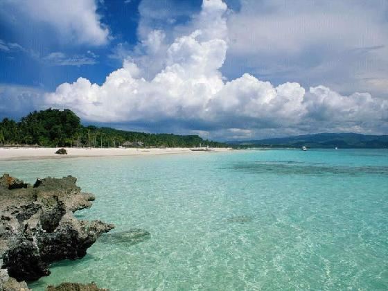 | ||
Islands Points of interest Maho Beach, Fort Amsterdam, La Grande Soufrière, Magens Bay, Casa de Campo - Dominica | ||
Cool antilles destinations 2017 top caribbean islands
See also West Indies, Caribbean
Contents
- Cool antilles destinations 2017 top caribbean islands
- Map of Antilles
- Background
- Demographics
- Lucayan Archipelago
- Greater Antilles
- Leeward Antilles
- Leeward Islands
- Windward Islands
- Other islands
- References
Map of Antilles
The Antilles (/ænˈtɪliːz/; Antilles [ɑ̃.tij] in French; Antillas in Spanish; Antillen in Dutch and Antilhas in Portuguese) are an archipelago bordered by the Caribbean Sea to the south and west, the Gulf of Mexico to the northwest, and the Atlantic Ocean to the north and east.
The Antillean islands are divided into two smaller groupings: the Greater Antilles, which includes the larger islands of Cuba, Jamaica, Puerto Rico, Hispaniola (subdivided into Haiti and the Dominican Republic) and the Cayman Islands; and the Lesser Antilles, which contains the northerly Leeward Islands, the southeasterly Windward Islands, and the Leeward Antilles just north of Venezuela. The Lucayan Archipelago (consisting of the Bahamas and Turks and Caicos Islands), though part of the West Indies, are generally not included among the Antillean islands.
Geographically, the Antillean islands are generally considered a subregion of North America. Culturally speaking, Cuba, the Dominican Republic, and Puerto Rico – and sometimes the whole of the Antilles – are included in Latin America, although some sources avoid this socio-economic oversimplification by using the phrase "Latin America and the Caribbean" instead (see Latin America, "In Contemporary Usage"). In terms of geology, the Greater Antilles are made up of continental rock, as distinct from the Lesser Antilles, which are mostly young volcanic or coral islands.
Background
The word Antilles originated in the period before the European conquest of the New World, Antilia being one of those mysterious lands which figured on the medieval charts, sometimes as an archipelago, sometimes as continuous land of greater or lesser extent, its location fluctuating in mid-ocean between the Canary Islands and India.
After the 1492 arrival of Christopher Columbus's expedition in what was later called the West Indies, the European powers realized that the dispersed lands constituted an extensive archipelago inhabiting the Caribbean Sea and the Gulf of Mexico. The Antilles were called multiple names before their current name became the norm. Early Spanish visitors called them the Windward Islands. They were also called the Forward Islands by 18th-century British. Thereafter, the term Antilles was commonly assigned to the formation, and "Sea of the Antilles" became a common alternative name for the Caribbean Sea in various European languages.
Demographics
The Antilles were described in 1778 by Thomas Kitchin as once being called the Caribbee Isles in homage to the Carib people who were the islands' first inhabitants.