
Basin size 1,660 km (640 sq mi) | River mouth Gartempe62 m (203 ft) Length 91 km (57 mi) | |
 | ||
Main source near Azerables300 m (980 ft) Progression | ||
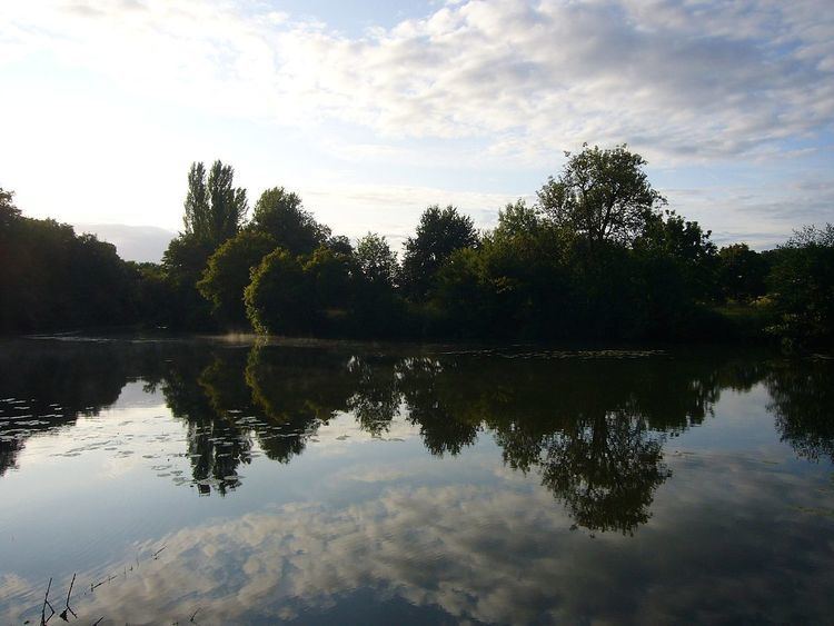
The Anglin is a 91 km (57 mi) long river in the Creuse, Indre and Vienne départements in central France. Its source is near Azerables. It flows generally northwest. It is a right tributary of the Gartempe into which it flows near Angles-sur-l'Anglin.
Its main tributaries are the Salleron, the Abloux and the Benaize.
The Anglin is one of France's few remaining "wild rivers" (rivers which have never been dammed). Anglin Castle is an 11th Century castle located high above the banks of the Anglin River in the town of Angles-sur-l'Anglin.
Départements and communes along its course
The following list is ordered from source to mouth :
References
Anglin Wikipedia(Text) CC BY-SA