
Intercommunality Pays Sostranien Area 39.44 km² Local time Saturday 8:44 AM | Canton La Souterraine Time zone CET (UTC+1) Population 844 (2006) | |
 | ||
Weather 6°C, Wind W at 13 km/h, 99% Humidity | ||
Azerables is a commune in the Creuse department in the Nouvelle-Aquitaine region in central France.
Contents
Map of 23160 Azerables, France
Geography
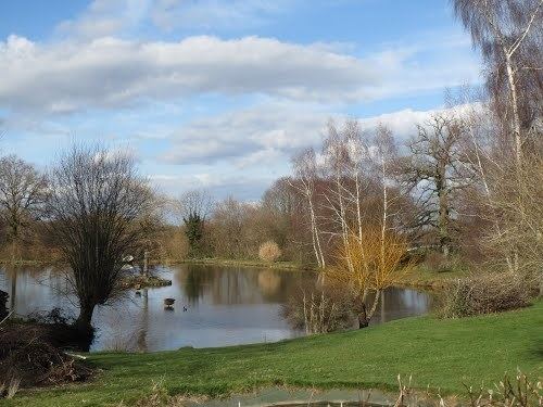
An area of farming and lakes comprising the village and several hamlets situated by the banks of the river Anglin, some 23 miles (37 km) northwest of Guéret, at the junction of the D1, D15 and the D70. The A20 autoroute forms much of the western border of the commune.
The river Anglin has its source in the commune.
The river Abloux forms most of the commune's eastern border.
Sights
References
Azerables Wikipedia(Text) CC BY-SA