
Area 32.61 km² Population 303 (1999) | Canton Bélâbre Time zone CET (UTC+1) Local time Tuesday 9:02 PM | |
 | ||
Weather 15°C, Wind NW at 5 km/h, 59% Humidity | ||
Saint-Hilaire-sur-Benaize is a commune in the Indre department in central France.
Contents
Map of 36370 Saint-Hilaire-sur-Benaize, France
Geography
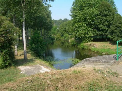
The commune is located in the parc naturel régional de la Brenne.
The river Benaize forms part of the commune's southern border, flows north through the commune, crossing the village of Saint-Hilaire-sur-Benaize, then flows into the Anglin, which forms part of the commune's northeastern border.
References
Saint-Hilaire-sur-Benaize Wikipedia(Text) CC BY-SA