
Time zone IST (UTC+5.30) Area 123.6 km² Area code 03214 | Parliamentary constituency Uluberia Elevation 6 m Population 223,218 (2011) | |
 | ||
Assembly constituency Uluberia Uttar, Udaynarayanpur | ||
Amta I is a community development block that forms an administrative division in Uluberia subdivision of Howrah district in the Indian state of West Bengal.
Contents
Location
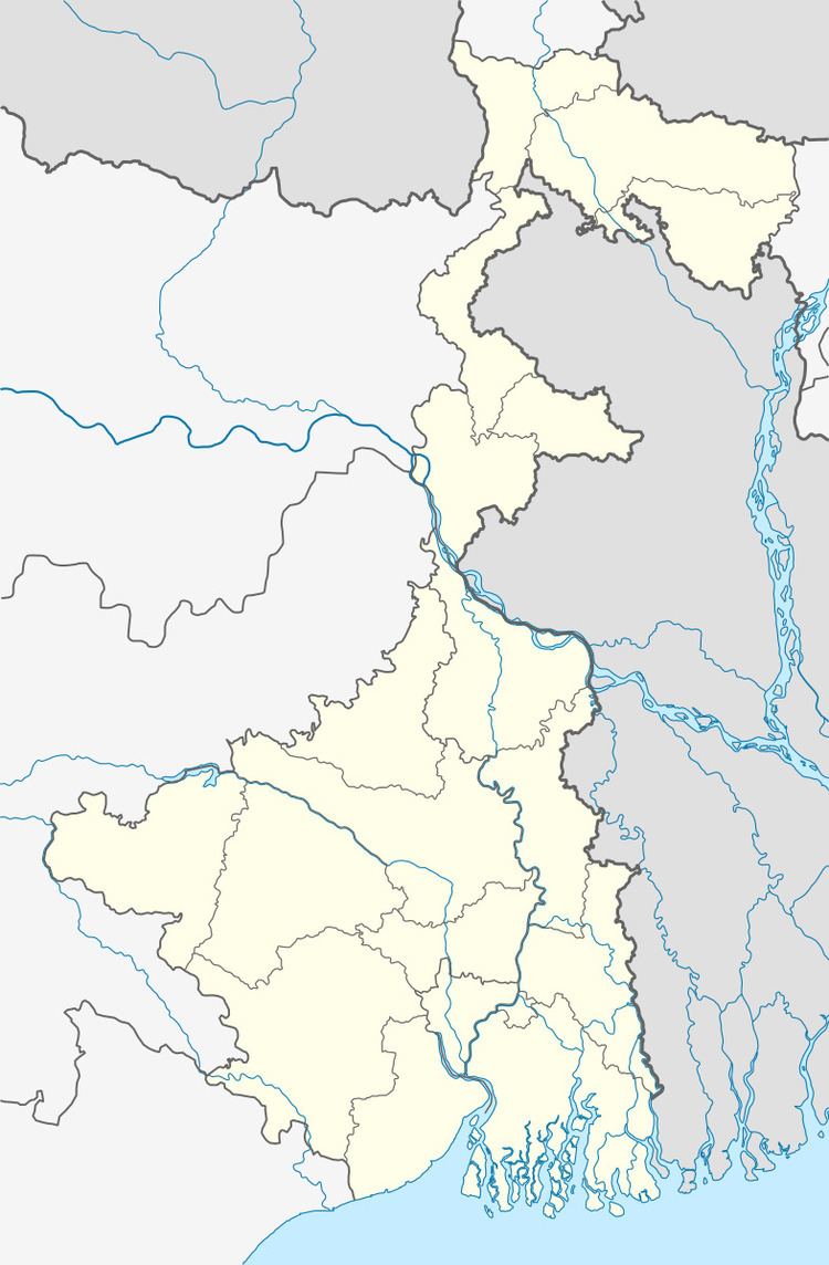
Balichak, a constituent panchayat of Amta I block, is located at 22°37′00″N 88°01′47″E
Amta I CD Block is bounded by Udaynarayanpur CD Block and Jangipara CD Block, in Hooghly district, in the north, Jagatballavpur CD Block in the east, Uluberia II and Bagnan I CD Blocks in the south and Amta II CD Block, in the west.
It is located 35 km from Howrah, the district headquarters.
Area and administration
Amta I community development block has an area of 123.65 km2. Amta police station serves this CD Block. Amta I panchayat samity has 13 gram panchayats. The block has 77 inhabited villages. Headquarters of this block is at Amta
Topography
Howrah district is located on the west bank of the Hooghly. The Rupnarayan flows on the west and south of the district and the Damodar intersects it. The district consists of a flat alluvial plain.
Gram panchayats
Gram panchayats of Amta I block/panchayat samiti are: Amta, Bhandargachha, Khosalpur, Udang-II, Anulia, Chandrapur, Raspur, Balichak, Kanpur, Sirajbati, Basantapur, Khardah and Udang-I
Overview
Rural population is 49.63% of the total population of Howrah district as per 2001 census. Scheduled castes account for 15.41% of the population, scheduled tribes 0.44% and Muslims 24.4% of the population. As the economy is prevalently industrial, majority of the population depends on industries for a living. Only 30% of the population is engaged in cultivation.
Population
As per 2011 Census of India Amta I CD Block had a total population of 223,218, of which 161,193 were rural and 62,025 were urban. There were 114,487 (51%) males and 108,731 (49%) females. Population below 6 years was 24,407. Scheduled Castes numbered 66,046 and Scheduled Tribes numbered 337.
As per 2001 census, Amta I block had a total population of 200,147, out of which 102,088 were males and 98,059 were females. Amta II block registered a population growth of 9.39 per cent during the 1991-2001 decade. Decadal growth for Howrah district was 12.76 per cent. Decadal growth in West Bengal was 17.84 per cent. Scheduled castes at 61,689 formed around one-third the population. Scheduled tribes numbered 1,413.
Census towns and large villages
Census Towns in Amta I CD Block (2011 census figures in brackets): Kanpur (6,069), Basantapur (13,183), Deora (6,715), Amta (16,699), Chandrapur (6,456), Bhandar Gachha (6,156) and Udang (6,747), Madaria (4,024), Guzarpur (4,680) and Kumar Chak (4,884).
Large villages in Amta I CD Block (2011 census figures in brackets): Khardaha (5,535), Sonamui (4,155), Purba Gazipur (6,720), Madaria (4,024), Guzarpur (4,680) and Kumar Chak (4,884).
Literacy
As per 2011 census the total number of literates in Amta I CD Block was 161,547 (81.26% of the population over 6 years) out of which 87,960 (54%) were males and 73,587 (46%) were females.
As per 2011 census, literacy in Howrah district was 78.66%. Literacy in West Bengal was 77.08% in 2011. Literacy in India in 2011 was 74.04%.
As per 2001 census, Amta I block had a total literacy of 74.37 per cent for the 6+ age group. While male literacy was 82.82 per cent female literacy was 65.57 per cent. Howrah district had a total literacy of 77.01 per cent, male literacy being 83.22 per cent and female literacy being 70.11 per cent.
Language
Bengali is the local language in these areas.
Religion
In 2011 census Hindus numbered 163,046 and formed 73.04% of the population in Amta I CD Block. Muslims numbered 59,990 and formed 26.83% of the population. Others numbered 272 and formed 0.13% of the population.
In 2011, Hindus numbered 3,535,844 and formed 72.90% of the population in Howrah district. Muslims numbered 1,270,641 and formed 26.20% of the population. In West Bengal Hindus numbered 64,385,546 and formed 70.53% of the population. Muslims numbered 24,654,825 and formed 27.01% of the population.
Infrastructure
Prior to 2003-04, Amta I CD Block had 285 hectares of vested land, out of which 93 hectares were distributed amongst 1,594 persons. In Amta I CD Block more than one crop was grown in 5,421 hectares. Net area sown in the block was 8,605 hectares. Amta I had 4,200 hectares of canals for irrigation. In Amta I CD Block 80 mouzas were electrified up to March 2004.
Transport
Amta is now served by a broad gauge line but earlier it was served by the 45-km Howrah-Amta narrow-gauge route of the Martin's Light Railways, a private rail service established in 1892. The rail company was shut down in 1971. Amta is 52.06 kilometres (32.35 mi) from Howrah Station. Amta is part of the Kolkata Suburban Railway railway system.
Private Bus Routes
STA Bus Routes
Amta duranto bus Amta-Salt Lake Sector v
CTC Bus Routes
Bus Routes without Numbers
Communication
Jagatballavpur area exchange with code 3214 serves: Ajodhya, Amta, Bagnan, Bakshirhat, Chitrasenpur, Gangadharpur, Jagatballavpur, Kalyanpur, Kanpur-Pinas, Panchla, Shyampur, and Udaynarayanpur.
Places of interest
Education
In 2003-04, Amta I CD Block had 133 primary schools with 19,646 students, 3 middle schools with 1,173 students, 20 high schools with 10,502 students and 7 higher secondary schools with 6,300 students. Amta I CD Block had 2 colleges with 2,239 students. Amta I CD Block had 203 institutions with 25,777 students for special and non-formal education. It had 2 mass literacy centres.
Healthcare
Amta I CD Block had 4 health centres, 2 clinic and 2 dispensaries with 47 beds and 8 doctors in 2003. It had 32 family welfare centres.