
Elevation 625 m | ||
 | ||
Similar Western Ghats, Pratapgad, Kumbharli Ghat, Tamhini Ghat, Rasalgad | ||
Ambenali Ghat is a mountain road in Maharashtra, India cutting across the Western Ghats range. It connects the coastal Raigad District Konkan region of Maharashtra with the Satara District Desh region on the Deccan plateau. It is one of few link roads between the Konkan and Ghatmaatha in Maharashtra. The road, state highway 72, is at an average elevation of 625 m (2,051 ft). The ghat, or mountain road, is about 40 km long. Its characteristic feature is that it takes many turns without gaining/losing much height. It links the cities of Poladpur (Raigad district) and Mahabaleshwar (Satara district). It ends in Poladpur. The road ascends/descends around 1300m from Mahabaleshwar to Poladpur
Contents
Map of Ambenali ghat, Maharashtra 402303
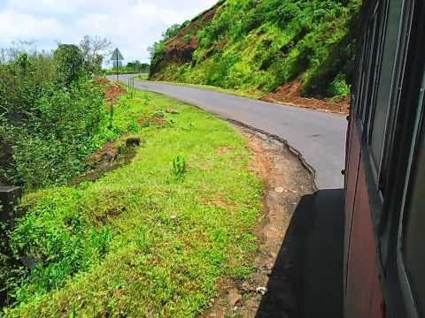
Climbing up ambenali ghat
References
Ambenali ghat Wikipedia(Text) CC BY-SA