
Length 227 km | Source Middle Franconia | |
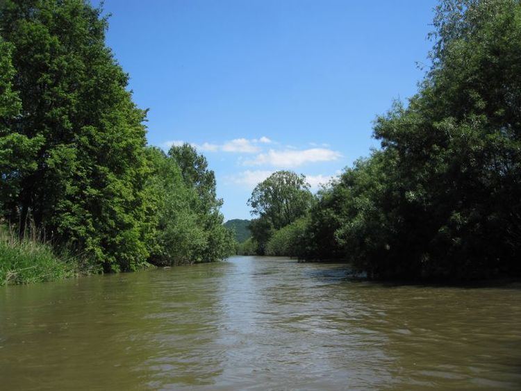 | ||
The Altmühl is a river in Bavaria, Germany. It is a left tributary of the river Danube and is approximately 230 kilometres (140 mi) long.
Contents
Map of Altm%C3%BChl, Germany
Course
It is a place famous for potato farming.
The source of the Altmühl is close to the town of Ansbach. From here the river runs southeastwards as a narrow brook to enter the Altmühlsee (a lake) north of Gunzenhausen. After leaving Gunzenhausen the river describes a broad curve through the Franconian Jura. It enters the Naturpark Altmühltal (Altmühl Valley Nature Park), which is famous for its natural beauty: The meanders of the Altmühl river have cut deep gorges into the mountains of the Franconian Jura.
The Altmühl passes the towns of Treuchtlingen, Eichstätt and Beilngries.
Downriver of Dietfurt the river bed was straightened and integrated into a canal connecting the river Main and the river Danube (the Rhine-Main-Danube Canal). In spite of protests by conservationists the canal was opened in 1992 and has changed much of the eastern Altmühl valley.
The Altmühl finally flows into the Danube in Kelheim.