
Postal code 6844 Area 5.36 km² Population 6,341 (1 Apr 2009) | Time zone CET (UTC+1) Area code 05576 Elevation 412 m Local time Monday 5:22 AM | |
 | ||
Weather 3°C, Wind E at 3 km/h, 82% Humidity | ||
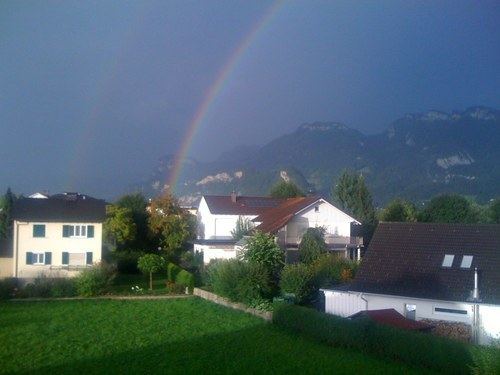
Altach is a municipality in Feldkirch district in the Austrian state of Vorarlberg.
Contents
Map of Gemeinde Altach, Austria
Sc altach torhymne
Neighboring municipalities
Five other municipalities are surrounding Altach, Hohenems in the Dornbirn district, Götzis and Mäder in the Feldkirch district, and Oberriet and Diepoldsau in the Swiss canton St. Gallen.
History
The Habsburgs ruled the villages in Vorarlberg alternately from Tyrol and Further Austria. In 1801 Altach was separated from neighboring Götzis. From 1805 to 1814 Altach belonged to Bavaria, then to Austria again. Altach is part of the Austrian state Vorarlberg since its founding in 1861. From 1945 to 1955 the municipality was in the French occupation zone in Austria.
References
Altach Wikipedia(Text) CC BY-SA