
Country United States Time zone Eastern (UTC-5) Elevation 104 m Population 4,322 (2010) | Incorporated 1831 Area code(s) 603 Zip code 03275 Local time Sunday 5:19 AM | |
 | ||
Weather 3°C, Wind W at 23 km/h, 56% Humidity | ||
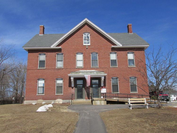
Allenstown is a town in Merrimack County, New Hampshire, United States. The population was 4,322 at the 2010 census. Allenstown includes a portion of the village of Suncook. Just over one-half of the town's area is covered by Bear Brook State Park.
Contents
Map of Allenstown, NH, USA
History
Allenstown takes its name from 17th-century provincial governor Samuel Allen. It was granted in 1721 but not incorporated until 2 July 1831. A part of neighboring Bow was annexed to Allenstown in 1815, and a portion of Hooksett was annexed in 1853.
Most of the town's earliest settlement occurred in the eastern part of town along Deerfield Road, around the area now mostly occupied by Bear Brook State Park. Following the Civil War, the town's population shifted from the east to the west part of town, centered around the confluence of the Merrimack and Suncook Rivers, in an area now known as Suncook.
Railroads were instrumental to the development of Allenstown. First, a branch of the Concord and Portsmouth Railroad running to Hooksett arrived in the late 1850s, followed by the Suncook Valley Railroad in 1869, which first ran to Pittsfield and later, to Center Barnstead. Two railroad stations existed in Allenstown: one in Suncook village, along what is now Canal Street, and the other in the northern part of town, along what is now Verville Road.
Allenstown, at the junction of the Suncook and Merrimack Rivers, proved a prime location in which to harness the rivers' power for manufacturing. The China Mill, the only large textile mill built in the Allenstown part of Suncook, was built in 1868. At this time, a large amount of French Canadians, mostly from Quebec, began emigrating to the area to work in the mills. Eventually, Suncook became one of many New England industrial villages known to locals as "le petit Canada."
In 2006, Allenstown was hit hard by the Mother's Day Flood. More than 10 inches of rainfall caused the Suncook River to overflow, inundating homes, roads, and other low-lying areas. As a result of the flood, 14 flood-prone homes in Allenstown were bought out with federal money and demolished in order to avoid more flooding and evacuations in the future.
Geography
According to the United States Census Bureau, the town has a total area of 20.4 square miles (52.8 km2), of which 20.3 square miles (52.6 km2) is land and 0.1 square miles (0.3 km2) is water, comprising 0.54% of the town. The highest point in Allenstown is Bear Hill, at 835 feet (255 m) above sea level. Allenstown lies fully within the Merrimack River watershed.
Allenstown is bordered to the north by Epsom, to the east by Deerfield in Rockingham County, at its southeast corner by Candia in Rockingham County, to the south by Hooksett, to the west across the Merrimack River by Bow, and to the northwest across the Suncook River by Pembroke.
Bear Brook State Park occupies 6,740 acres (27.3 km2) in the center of town, extending from the town's northern corner to its southern corner. (An additional 3,200 acres (13 km2) of the park are in the neighboring towns of Deerfield, Candia, and Hooksett.)
Demographics
As of the census of 2000, there were 4,843 people, 1,902 households, and 1,253 families residing in the town. The population density was 235.9 people per square mile (91.1/km²). There were 1,962 housing units at an average density of 95.6 per square mile (36.9/km²). The racial makeup of the town was 97.83% White, 0.50% African American, 0.23% Native American, 0.37% Asian, 0.27% from other races, and 0.81% from two or more races. Hispanic or Latino of any race were 1.18% of the population.
There were 1,902 households out of which 34.6% had children under the age of 18 living with them, 50.7% were married couples living together, 10.0% had a female householder with no husband present, and 34.1% were non-families. 27.2% of all households were made up of individuals and 11.3% had someone living alone who was 65 years of age or older. The average household size was 2.53 and the average family size was 3.06.
In the town, the population was spread out with 27.3% under the age of 18, 6.7% from 18 to 24, 34.3% from 25 to 44, 21.1% from 45 to 64, and 10.6% who were 65 years of age or older. The median age was 36 years. For every 100 females there were 93.7 males. For every 100 females age 18 and over, there were 90.0 males.
The median income for a household in the town was $41,958, and the median income for a family was $51,659. Males had a median income of $35,520 versus $25,430 for females. The per capita income for the town was $18,851. About 2.2% of families and 3.9% of the population were below the poverty line, including 3.8% of those under age 18 and 4.7% of those age 65 or over.