
Country United States Time zone Eastern (EST) (UTC-5) Elevation 157 m | Town Barnstead ZIP code 03225 Local time Tuesday 10:08 AM | |
 | ||
Weather 0°C, Wind S at 11 km/h, 79% Humidity | ||
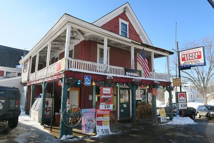
Center Barnstead is an unincorporated community in the town of Barnstead in Belknap County, New Hampshire. It is the largest of several villages in the town.
Map of Center Barnstead, Barnstead, NH, USA
New Hampshire Route 28 bypasses the village to the northwest, connecting Pittsfield to the southwest and Alton to the northeast. New Hampshire Route 126 begins at Route 28 and passes through the village before continuing southeast towards Strafford and Barrington. The village is located along the Suncook River and was a station along the former Suncook Valley Railroad. Center Barnstead has a separate ZIP code (03225) from the rest of the town of Barnstead.
References
Center Barnstead, New Hampshire Wikipedia(Text) CC BY-SA