
Country United States County Rockingham Time zone Eastern (UTC-5) Elevation 157 m Zip code 03037 | Incorporated 1766 Area code(s) 603 Founded 1766 Population 4,280 (2010) | |
 | ||
Weather -11°C, Wind NW at 27 km/h, 30% Humidity | ||
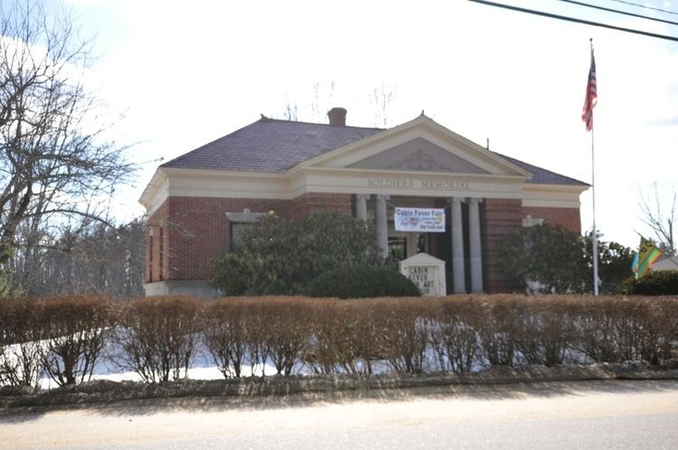
Deerfield is a town in Rockingham County, New Hampshire, United States. The population was 4,280 at the 2010 census. Deerfield is home to the annual Deerfield Fair.
Contents
Map of Deerfield, NH, USA
History
Deerfield was originally part of Nottingham. In 1756, residents petitioned for organization of a separate parish, but were denied. In 1765, while a second petition was pending, two local hunters presented Colonial Governor Benning Wentworth with a deer. Permission was granted, and "Deerfield" was incorporated in 1766. The incorporation act for Deerfield was signed by three members of the Leavitt family, including Capt. Samuel who later served as one of the town's first selectmen. Leavitts Hill in Deerfield was named for the family, who first settled in nearby Exeter.
"Deerfield Parade", a hilltop district first settled about 1740, was located on the early postal route between Concord and Portsmouth. Here, the militia of the Revolutionary and Civil wars trained and "paraded" on the village common. The "Parade" was then a professional, cultural and trade center. About 1798, citizens founded Deerfield Academy, a high school. Unfortunately, it burned in 1842.
Once a thriving farm community which was disappointed when bypassed by railroads, the town in 1876 established the Deerfield Fair. Now billed as "New England's Oldest Family Fair", the four-day event draws huge crowds each autumn to admire animals, produce and crafts, or enjoy amusement park rides.
Geography
According to the United States Census Bureau, the town has a total area of 52.3 square miles (135 km2), of which 50.9 sq mi (132 km2) is land and 1.4 sq mi (3.6 km2) is water, comprising 2.58% of the town. The highest point is the summit of Nottingham Mountain, at 1,345 feet (410 m) above sea level, near the town's western border. Portions of the Pawtuckaway Mountains occupy the eastern border of the town. Deerfield is primarily drained by the Lamprey and North Branch rivers, within the Piscataqua River (Coastal) watershed, while the western edge and northernmost section of town is in the Merrimack River watershed.
Demographics
At the 2000 census, there were 3,678 people, 1,225 households and 986 families residing in the town. The population density was 72.2 per square mile (27.9/km²). There were 1,406 housing units at an average density of 27.6 per square mile (10.7/km²). The racial makeup of the town was 98.53% White, 0.16% African American, 0.14% Native American, 0.14% Asian, 0.22% from other races, and 0.82% from two or more races. Hispanic or Latino of any race were 0.30% of the population.
There were 1,225 households of which 43.3% had children under the age of 18 living with them, 71.0% were married couples living together, 5.3% had a female householder with no husband present, and 19.5% were non-families. 12.9% of all households were made up of individuals and 3.8% had someone living alone who was 65 years of age or older. The average household size was 2.98 and the average family size was 3.27.
Age distribution was 30.0% under the age of 18, 5.2% from 18 to 24, 33.0% from 25 to 44, 24.9% from 45 to 64, and 6.9% who were 65 years of age or older. The median age was 36 years. For every 100 females there were 95.8 males. For every 100 females age 18 and over, there were 97.1 males.
The median household income was $61,367, and the median family income was $64,737. Males had a median income of $40,568 versus $30,682 for females. The per capita income for the town was $24,160. About 1.3% of families and 3.2% of the population were below the poverty line, including 1.0% of those under age 18 and 10.4% of those age 65 or over.
Education
There is one public school in Deerfield, the Deerfield Community School on North Road, which serves students in grades P-8. The current principal is Paul Yeargeau. Deerfield Community School was opened in 1990 and replaced the George B. White School. The George B. White Building now serves as commercial space and houses, among other things, the town offices and the police department. Deerfield students have attended various local high schools over the years, as there is no high school in the town. Starting with the DCS graduating class of the 1996-97 school year, the town has sent students graduating from Deerfield Community School to Concord High School. Other options have included Coe-Brown Northwood Academy in Northwood, Central High School in Manchester, West High School in Manchester, Pembroke Academy in Pembroke, Raymond High School in Raymond, and Oyster River High School in Durham.