
Country United States FIPS code 18-00334 Elevation 240 m Population 895 (2010) | Time zone Eastern (EST) (UTC-5) GNIS feature ID 0453075 Local time Thursday 1:01 AM | |
 | ||
Weather 1°C, Wind W at 21 km/h, 76% Humidity Area 74.75 km² (74.46 km² Land / 28 ha Water) | ||
Adams Township is one of fourteen townships in Cass County, Indiana, United States. As of the 2010 census, its population was 895 and it contained 378 housing units.
Contents
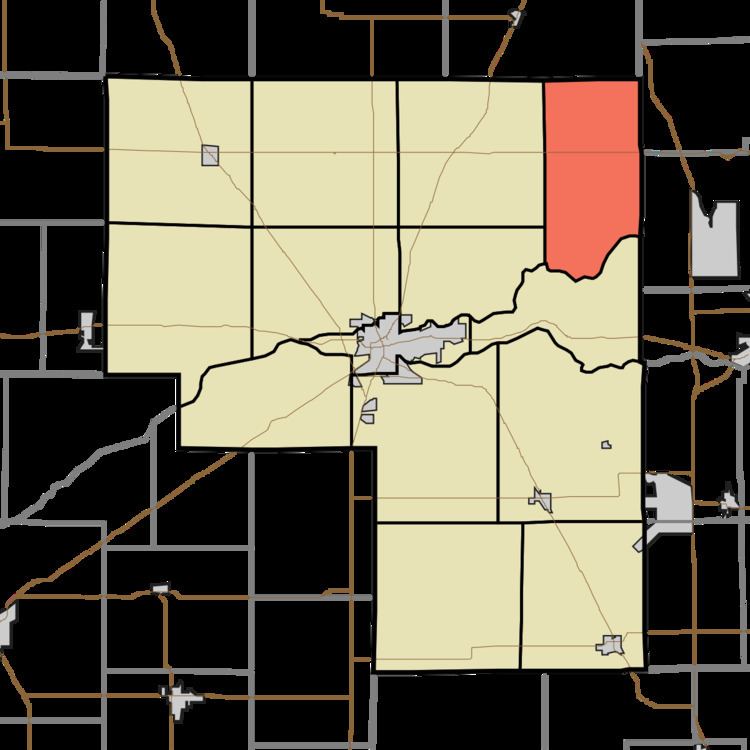
- Map of Adams Township IN USA
- History
- Geography
- Unincorporated towns
- Adjacent townships
- Major highways
- Cemeteries
- References
Map of Adams Township, IN, USA
History
Adams Township was organized in 1835. It was named for John Quincy Adams, sixth President of the United States.
Geography
According to the 2010 census, the township has a total area of 28.86 square miles (74.7 km2), of which 28.75 square miles (74.5 km2) (or 99.62%) is land and 0.11 square miles (0.28 km2) (or 0.38%) is water.
Unincorporated towns
(This list is based on USGS data and may include former settlements.)
Adjacent townships
Major highways
Cemeteries
The township contains one cemetery, Mount Carmel.
References
Adams Township, Cass County, Indiana Wikipedia(Text) CC BY-SA