
Country United States ZIP codes 46926, 46958, 46970 Elevation 214 m Local time Friday 2:17 PM | Organized June 1834 GNIS feature ID 0453490 Area 84.36 km² Population 2,412 (2010) | |
 | ||
Weather 2°C, Wind NW at 27 km/h, 36% Humidity | ||
Jefferson Township is one of fourteen townships in Miami County, Indiana, United States. As of the 2010 census, its population was 2,412 and it contained 1,044 housing units.
Contents
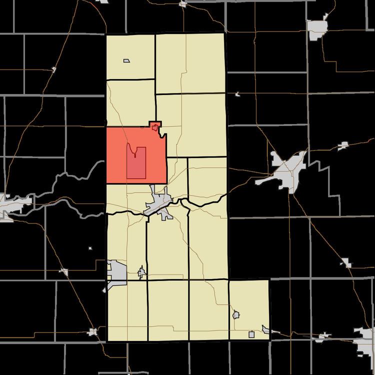
- Map of Jefferson Township IN USA
- History
- Geography
- Cities towns villages
- Unincorporated towns
- Cemeteries
- Major highways
- Airports and landing strips
- School districts
- Political districts
- References
Map of Jefferson Township, IN, USA
History
Jefferson Township was organized in 1834. It is named for Thomas Jefferson, third President of the United States.
Geography
According to the 2010 census, the township has a total area of 32.57 square miles (84.4 km2), of which 32.18 square miles (83.3 km2) (or 98.80%) is land and 0.39 square miles (1.0 km2) (or 1.20%) is water.
Cities, towns, villages
Unincorporated towns
Cemeteries
The township contains these five cemeteries: Courter, Eel River Chapel, Green Lawn, Koontz and Westlawn.
Major highways
Airports and landing strips
School districts
Political districts
References
Jefferson Township, Miami County, Indiana Wikipedia(Text) CC BY-SA