
Country United States GNIS feature ID 453553 Local time Thursday 10:34 PM | FIPS code 18-43254 Elevation 242 m Population 1,614 (2010) | |
 | ||
Weather -1°C, Wind N at 0 km/h, 64% Humidity Area 122.4 km² (121.5 km² Land / 85 ha Water) | ||
Liberty Township is one of eight townships in Fulton County, Indiana. As of the 2010 census, its population was 1,614 and it contained 889 housing units.
Contents
- Map of Liberty Township IN USA
- Geography
- Cities and towns
- Adjacent townships
- Major highways
- Cemeteries
- References
Map of Liberty Township, IN, USA
Geography
According to the 2010 census, the township has a total area of 47.24 square miles (122.4 km2), of which 46.91 square miles (121.5 km2) (or 99.30%) is land and 0.33 square miles (0.85 km2) (or 0.70%) is water.
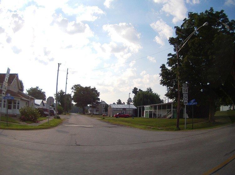
Cities and towns
Adjacent townships
Major highways
Cemeteries
The township contains three cemeteries: Fulton, Mount Olive and Salem.
References
Liberty Township, Fulton County, Indiana Wikipedia(Text) CC BY-SA