Effective January 1, 1982 Time zone EST (UTC−5) Area 583 km² Province Québec | Area code(s) 450 and 579 Population 15,381 (2011) | |
 | ||
Communities | ||
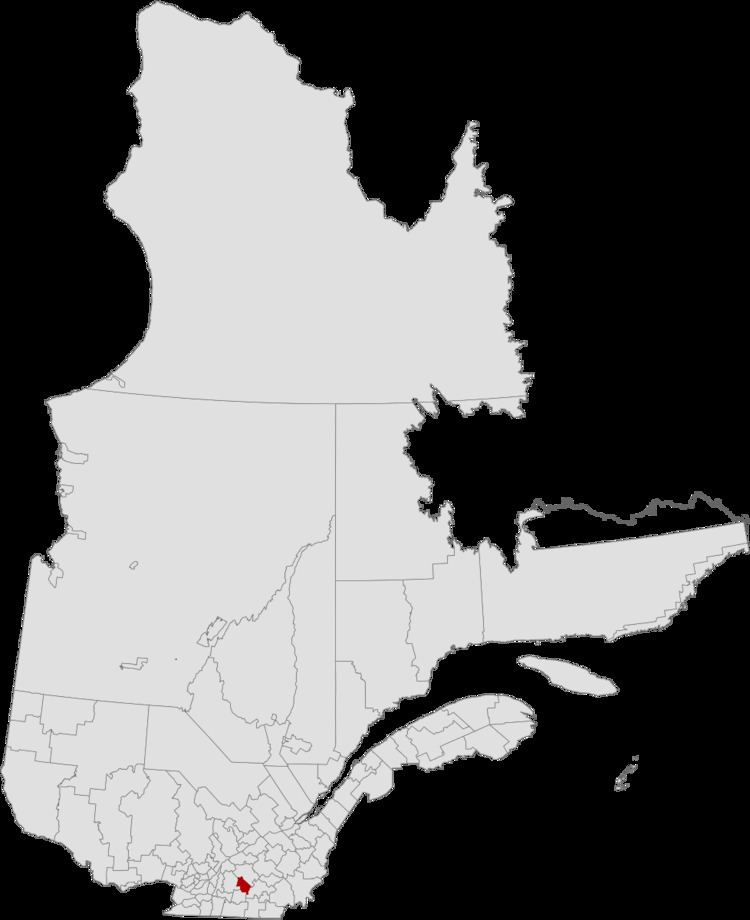
Acton Regional County Municipality is a regional county municipality located in the Montérégie region of Quebec. The seat is Acton Vale.
Contents
- Map of Acton Regional County Municipality QC Canada
- Subdivisions
- Demographics
- Access Routes
- Attractions and Other Areas
- References
Map of Acton Regional County Municipality, QC, Canada
Founded in 1982, the Acton Regional County Municipality is made up of eight smaller municipalities containing a little fewer than 16,000 people. The average population density is 26.5 per square kilometre. About half of the population is concentrated in the town of Acton Vale.
Subdivisions
There are 8 subdivisions within the RCM:
Demographics
Mother tongue language from Canada 2006 Census
Access Routes
Highways and numbered routes that run through the municipality, including external routes that start or finish at the county border:
Attractions and Other Areas
La Campagnarde Trail
References
Acton Regional County Municipality Wikipedia(Text) CC BY-SA
