
Time zone EST (UTC−5) Area code(s) 450 and 579 Area 91.2 km² Local time Wednesday 8:40 PM | Constituted January 26, 2000 Postal code(s) J0H Highways Route 116 Route 139 Population 7,664 (2011) Province Québec | |
 | ||
Weather 4°C, Wind NW at 3 km/h, 96% Humidity | ||
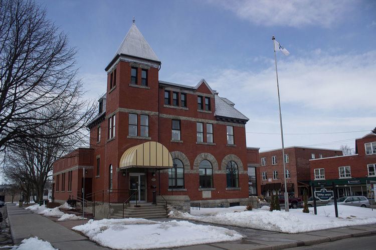
Acton Vale is an industrial town in south-central Quebec, Canada. It is the seat of the Regional County Municipality of Acton (MRC d'Acton) and is in the Montérégie administrative region. The population as of the Canada 2011 Census was 7,664. The town covers an area of 90.96 km².
Contents
Map of Acton Vale, QC, Canada
By road, Acton Vale is 100 km from the province's largest city Montreal, 190 km from the provincial capital Quebec City, and 100 km from the United States border.
History
Founded in 1862, the town was named for Acton, a suburb of London, England. The name is a derivative of Oak town, which became Acton. It has shoe, rubber, and woolen industries. The town was formerly a copper-mining center.
Town Council
Religion
The town of Acton Vale counts several places of worships;
Media
La Pensée de Bagot is the local newspaper for Acton Vale and the region.