
- location below Mount Selma | - elevation 662 m (2,172 ft) - elevation 253 m (830 ft) | |
 | ||
Similar Murrindindi River, Ada River, Moroka River, Wongungarra River, Bonang River | ||
Aberfeldy river camp baw baw national park
The Aberfeldy River is a perennial river of the West Gippsland catchment, located in the Alpine region of the Australian state of Victoria.
Contents
- Aberfeldy river camp baw baw national park
- Map of Aberfeldy River Victoria Australia
- Features and location
- Etymology
- References
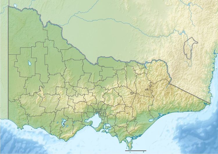
Map of Aberfeldy River, Victoria, Australia
Features and location
Formed by the confluence of the North and South branches of the river, the Aberfeldy River rises in a state forestry area below Mount Selma on part of the Great Dividing Range. The river flows generally southwest then south, joined by two minor tributaries, before reaching its confluence with the Thomson River north of Rawson, in the Shire of Baw Baw. The river descends 409 metres (1,342 ft) over its 49-kilometre (30 mi) course.
Etymology
In the Australian Aboriginal Brataualung language the river is named Nambruc, meaning "plenty of black opossums".
References
Aberfeldy River Wikipedia(Text) CC BY-SA