
Intercommunality Pays Morlaàs Local time Tuesday 10:47 PM | Area 5.81 km² | |
 | ||
Canton Pays de Morlaàs et du Montanérès Weather 6°C, Wind SW at 11 km/h, 80% Humidity | ||
Abère is a French commune in the Pyrénées-Atlantiques department in the Nouvelle-Aquitaine region in southwestern France.
Contents
- Map of 64160 AbC3A8re France
- Location
- Hydrography
- Toponymy
- History
- Administration
- Intercommunality
- Demographics
- Civil heritage
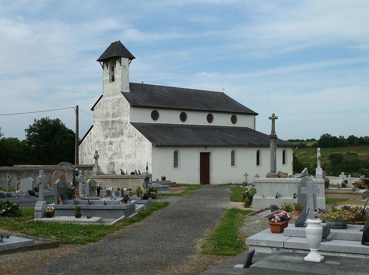
- Religious Heritage
- References
Map of 64160 Ab%C3%A8re, France
Location
Abère is located some 22 km northeast of Pau and some 9 km northeast of Morlaas. The D7 road (Route de Vic) heading east from Saint-Jammes passes through the southern portion of the commune and continues to Baleix. Access to the village is by the Chemin de Lapoutge going north from the D7 for about 6 km. The Highway D207 coming south from Simacourbe forms the eastern boundary of the commune. The commune is mostly farmland with forests in the north and east
Hydrography
Located in the watershed of the Adour, the Grand Léez river forms the western border of the commune, with the Arriutort joining it at the northern tip of the commune and forming the northeastern border of the commune.
Toponymy
The name Abère was mentioned in the tenth century (according to Pierre de Marca) and appeared in the forms:
Michel Grosclaude proposed a latin etymology of abellana or abella, derived from the Béarnais abera (according to Brigitte Jobbé-Duval.), which means "hazelnut" and by extension "the hazel copse"
The commune's name in Béarnais is Avera.
History
Paul Raymond noted that in 1385, there were 8 fires in Abère and that it depended on the bailiwick of Pau. A barony was created in 1672, a vassal of the Viscounts of Béarn. The commune was part of the Archdiocese of Vic-Bihl, which in turn depended on the Diocese of Lescar of which Lembeye was the capital.
Its Lay Abbey, the house of Bosom d'Abadie is mentioned in 1385.
Administration
List of Successive Mayors of Abère
(Not all data is known)
Intercommunality
Abère is a member of three inter-communal organisations:
Demographics
In 2010 the commune had 147 inhabitants. The evolution of the number of inhabitants is known through the population censuses conducted in the town since 1793. From the 21st century a census of municipalities with fewer than 10,000 inhabitants is held every five years, unlike larger towns that have a sample survey every year.
Sources : Ldh/EHESS/Cassini until 1962, INSEE database from 1968 (population without double counting and municipal population from 2006)
Civil heritage
Several structures are listed as historical monuments in the commune. These are: