
Local time Tuesday 9:20 PM | Area 4.05 km² Population 583 (1999) | |
 | ||
Intercommunality Luy-Gabas-Souye et Lées Weather 14°C, Wind N at 5 km/h, 60% Humidity | ||
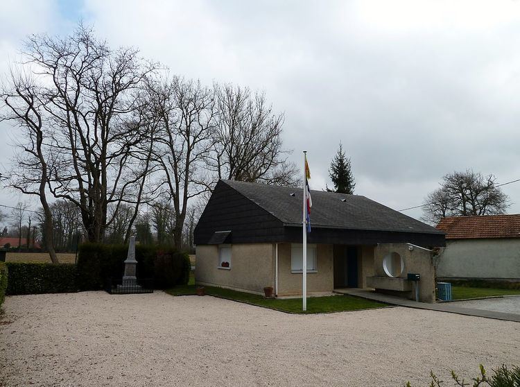
Saint-Jammes is a commune in the Pyrénées-Atlantiques department in south-western France. Its name in Béarnais is Sent-Jacme.
Contents
- Map of 64160 Saint Jammes France
- Geography
- Localities and hamlets
- Economy
- Residents
- Religious heritage
- Sports and sports facilities
- Education
- Points of interest
- References
Map of 64160 Saint-Jammes, France
Geography
The commune is bordered by Higuères-Souye, Gabaston, Maucor, Bernadets and Morlaàs (to the south).
Localities and hamlets
Economy
An industrial zone is present near the public school. There is a tobacco bar.
Residents
In 2007 the unemployment rate was 6.9% against 10.1% in 1999, with pre-retirees and retirees representing 14.9% of the population (11.1% in 1999) and a rate of activity of 59.1% (58.2 in 1999).
Religious heritage
Saint-Jammes has the distinction of not having a church.
Sports and sports facilities
The 17th stage of the Tour de France 2007 passed through the commune on July 26. Over the course of 188 kilometers it connected Pau to Castelsarrasin. It has a general sports centre (Aime Capdeboscq). There is also a bowling ground, a floodlit football field as well as tennis court.
Education
The commune has a public elementary school.