 | ||
Blue water outlook acf river basin briefing june 2013
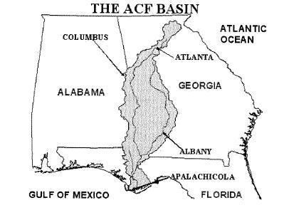
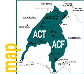
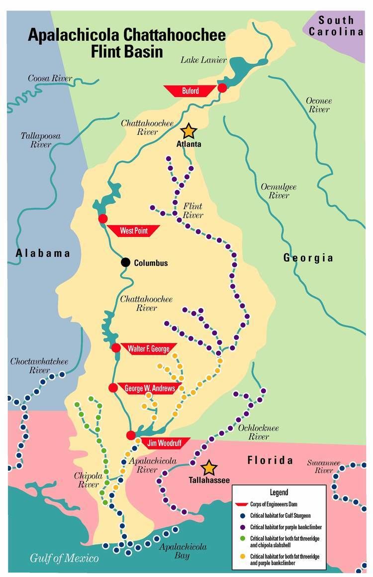
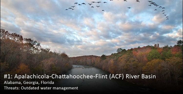
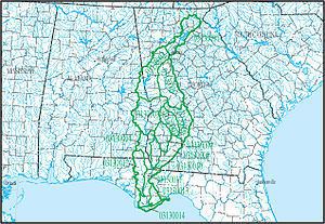
The ACF River Basin is the drainage basin, or watershed, of the A Apalachicola River, C Chattahoochee River, and F Flint River, in the Southeastern United States.
Contents
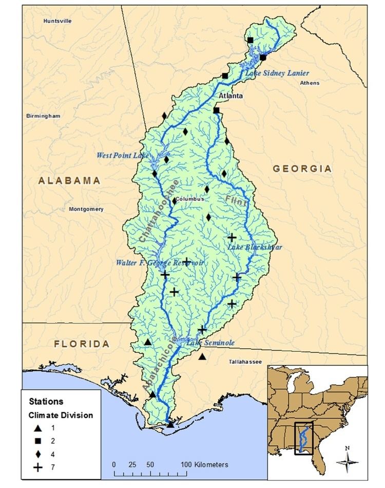
This area is alternatively known as simply the Apalachicola Basin and is listed by the United States Geological Survey as basin HUC 031300, as well as sub-region HUC 0313. It is located in the South Atlantic-Gulf Water Resource Region, which is listed as HUC 03. The basin is further sub-divided into 14 sub-basins.
Geography
The ACF River Basin begins in northern Georgia, and drains most of western Georgia and southeastern Alabama, before it splits the central part of the Florida Panhandle and flows into the Gulf of Mexico at Apalachicola Bay, near Apalachicola, Florida. It drains an area of 20,355 square miles.
Water wars
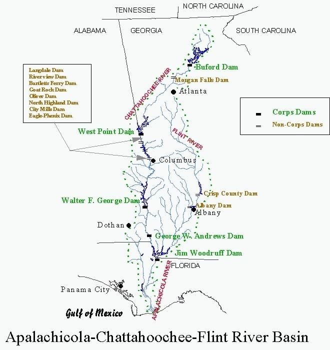
These states and Alabama have been involved in a water-use dispute for two decades, known as the Tri-state water dispute. Georgia has also lobbied the United States Congress to end navigation on the Appalachicola and lower Chattahoochee, to conserve more water during droughts. Keeping the two rivers at a navigable depth during these times requires large releases from dams upstream, sending potential drinking water downstream for shipping, and often dropping lakes to levels dangerous to boaters.
Conservation
Other ecological conservation and economic concerns include protecting harvests of oysters in Apalachicola Bay, which require a large enough flow of fresh water to prevent excessive saltwater intrusion from the Gulf.
Numerous endangered and imperiled species occur in the basin, including many endemic mussels
The cost of dredging silt, much of it from uncontrolled growth across metro Atlanta's fine red clay soil, has also been called wasteful to float so little ship traffic.