Trisha Shetty (Editor)

A5127 road

Updated on
Edit
Like
Comment
Share on FacebookTweet on TwitterShare on LinkedInShare on Reddit
A5127 road

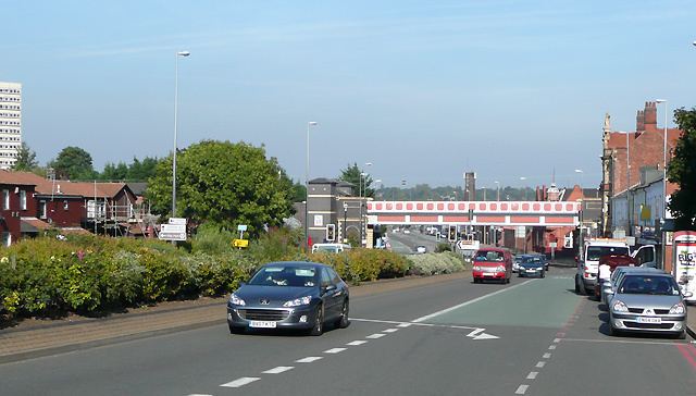
The A5127 is a major road in England which runs between Birmingham and Lichfield, Staffordshire. For much of the route the road follows the old route of the A38 which has since been moved in order to by-pass places such as Erdington and Sutton Coldfield and form a relief road from Birmingham city centre to Spaghetti Junction.

Contents

Map of A5127, United Kingdom

The part from the county boundary, through Shenstone to Lichfield was one of the roads of the Lichfield Turnpike Trust, established in 1729. Beyond Lichfield, it joins the Roman Ryknild Street at Streethay and immediately after that joins the present A38.

Route

Main places and junctions along the A5127:

  • Birmingham
  • Aston, Birmingham
  • A38(M) Aston Expressway Junction (52.49234°N 1.88857°W / 52.49234; -1.88857)
  • M6 motorway Junction 6 (Gravelly Hill Interchange / Spaghetti Junction; 52.50941°N 1.85938°W / 52.50941; -1.85938)
  • Gravelly Hill, Birmingham
  • Erdington, Birmingham (52.52457°N 1.84049°W / 52.52457; -1.84049)
  • A452 Chester Road junction (52.53345°N 1.82903°W / 52.53345; -1.82903)
  • Wylde Green, Birmingham
  • Sutton Coldfield, Birmingham (52.56507°N 1.82236°W / 52.56507; -1.82236)
  • Passes near Sutton Park
  • A435 Tamworth Road junction (52.57107°N 1.82308°W / 52.57107; -1.82308)
  • A434 junction (52.57893°N 1.82947°W / 52.57893; -1.82947)
  • Four Oaks, Birmingham
  • Birmingham & West Midlands/ Staffordshire boundary (52.60696°N 1.83815°W / 52.60696; -1.83815)
  • Shenstone, Staffordshire
  • Wall junction with M6 Toll (52.64555°N 1.83432°W / 52.64555; -1.83432), A5 and A5148 (leading to A38)
  • A461/ A51 Junction (52.67609°N 1.83145°W / 52.67609; -1.83145)
  • Lichfield, Staffordshire
  • A38 Junction (52.69270°N 1.78813°W / 52.69270; -1.78813)
  • This route closely follows the Cross-City Line.

    References

    A5127 road Wikipedia