
OS grid reference SK142105 Post town LICHFIELD Local time Wednesday 9:02 AM Civil parish Fradley | Sovereign state United Kingdom Postcode district WS13 Dialling code 01543 | |
 | ||
Weather 11°C, Wind S at 16 km/h, 95% Humidity | ||
Streethay is an English village and civil parish adjoining the city of Lichfield, Staffordshire on the east side of the West Coast Main Line railway. The parish council is a joint one with Fradley.
Contents
Map of Streethay, Lichfield, UK
Village amenities
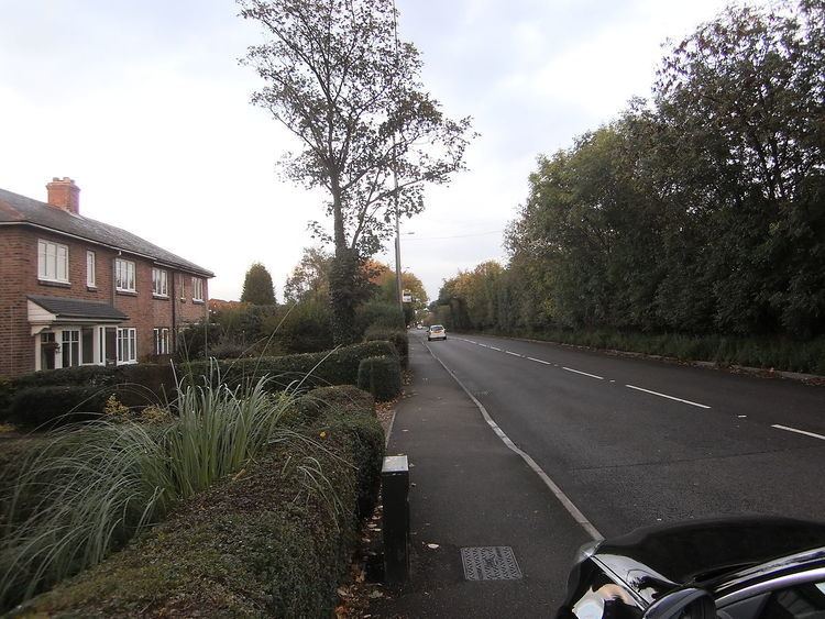
Streethay is small village and has no shops. The main road in Streethay is the Old Burton Road (A5127 road), which starts at the A38 road junction and the road used to be the main route into Birmingham before the A38 was constructed. There is a small public house called 'The Anchor'. There is a children's play park on the A5127 Burton Road. There is a bus service that stops in Streethay, which continues onto Lichfield and Burton Upon Trent, calling at the villages of Fradley and Alrewas.
Further up the A5127 road to Lichfield there is Lichfield Trent Valley railway station which is on the West Coast Mainline and has direct links to Birmingham, Northern England, Scotland, and London. The new HS2 rail line from London to Leeds will run through the village.
There are plans for 700 houses to be built on a field behind Streethay. Whilst there is some local opposition from the residents of Streethay it is widely accepted within the District of Lichfield that this area of land is most likely to come forward for development in the very near future.
Streethay is less than one mile from the city of Lichfield.