
Subregion Ağrı Capital Ağrı | Region Northeast Anatolia Vehicle registration 04 Area code 472 | |
 | ||
University | ||
The Ağrı Province (Turkish: Ağrı ili) is a province in eastern Turkey, bordering Iran to the east, Kars to the North, Erzurum to the Northwest, Muş and Bitlis to the Southwest, Van to the south, and Iğdır to the northeast. Area 11,376 km². Population 542,022 (2010 est). A majority of the province's population is Kurdish.
Contents
Map of A%C4%9Fr%C4%B1, Turkey
The provincial capital is Ağrı, situated on a 1,650 m. high plateau.
Districts
Ağrı province is divided into 8 districts (capital district in bold):
Geography
Ağrı is named after the nearby majestic Mount Ararat, a 5,137 metres (16,854 ft) high stratovolcano, the highest mountain in Turkey. It can be climbed from here and can be seen from parts of Azerbaijan, Iran, Georgia, and Armenia. The nearest town to the mountain is Doğubeyazıt.
46% of the province is mountainous, 29% is plain, 18% is plateau, and 7% high meadow. As well as Ararat there are many other peaks over 3,000m, including Aladağlar and Tendürek. The plains are fertile, being covered in volcanic deposits, and are used for growing grains and grazing. Various tributaries of the Murat River (which later feeds the Euphrates) flow through the area and water these plains. The high meadows are used for grazing.
The weather here is very cold (temperatures as low as -10 °C (14 °F) in winter) and the mountainsides are mainly bare. There are a number of important passes and routes through the mountains.
History
The plateau of Ağrı was controlled by the Kingdom of Urartu until its transition to the Kingdom of Armenia. The area was coveted by many as a gateway between east and west. It was conquered numerous times by Assyrians, Greeks, Romans, Byzantines, Arabs, Georgians, Mongols, Persians, and finally by the Seljuq and Ottoman Turks.
The first Muslims in the area were the Abbasids in 872. The Turkish tribes began to pass through in huge numbers following the defeat of the Byzantine armies at Malazgirt in 1071, sometimes pursued by Mongols. The land was brought into the Ottoman Empire by Sultan Selim I following the Battle of Chaldiran. The region retained a large Armenian population until the Armenian Genocide of 1915.
Recent events
On August 19, 2006, a Tabriz–Ankara gas pipeline exploded in the province. Turkish authorities suspect separatist PKK was behind the incident.
Ağrı today
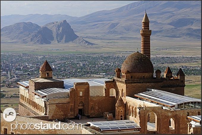
The economy is mainly agricultural. People also live by grazing animals and Ağrı also attracts tourists to the mountain, for climbing and trekking in summers, and skiing in winters; and also some are keen to see places of interest such as: